Plumelin, Administrative commune in Morbihan department, Brittany, France
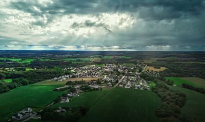
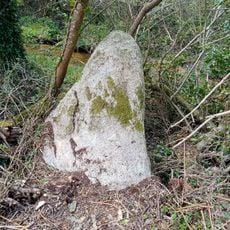
Plumelin is a rural commune in the Morbihan department of inland Brittany, located a short distance from the town of Pontivy. The territory takes in several small hamlets surrounded by farmland and wooded areas that are typical of this part of western France.
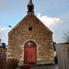
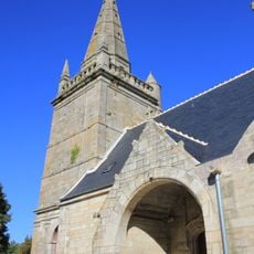
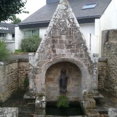
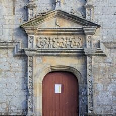
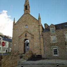
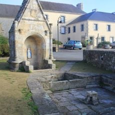
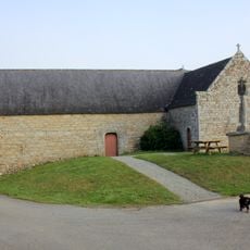
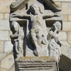
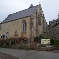
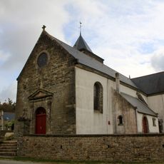
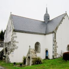
Like many places across the Breton countryside, Plumelin developed as a parish settlement in the medieval period, organized around a local church. In the 20th century, the commune grew steadily as road connections improved and farming in the region became more organized.
Plumelin has its own village school that offers classes in Breton, which is not common in small rural communes of this size. Bilingual road signs in French and Breton are visible throughout the village, a quiet reminder of the regional language still spoken here.
Plumelin is reached by regional roads and sits close to Pontivy, which offers a train station and more extensive services. A personal vehicle is the most practical way to get around, as public transport options in this rural area are limited.
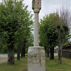
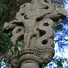
The name Plumelin comes from Breton and refers to the parish of a saint called Melinus, an early Christian figure whose memory has almost entirely faded from the region. The village name is now the only trace of this forgotten local cult.
The community of curious travelers
AroundUs brings together thousands of curated places, local tips, and hidden gems, enriched daily by 60,000 contributors worldwide.