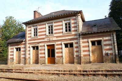
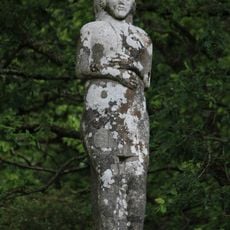
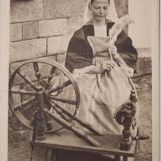
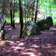
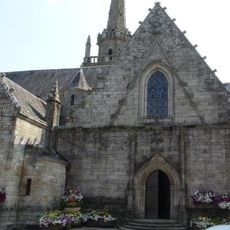
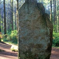
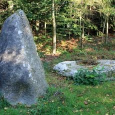
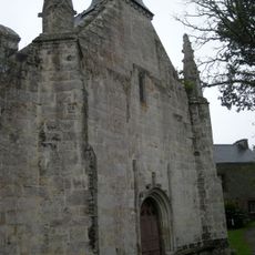
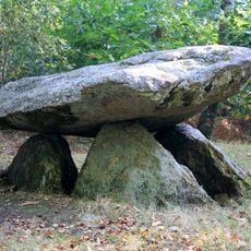
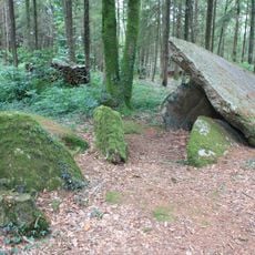
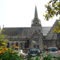
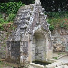
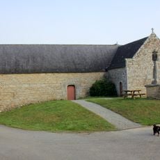
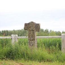
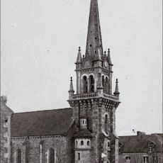
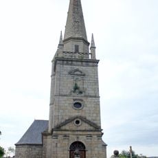
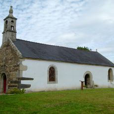
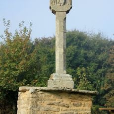
Baud, commune in Morbihan, France
Location: canton of Baud
Location: Morbihan
Location: Centre Morbihan Communauté
Location: arrondissement of Pontivy
Elevation above the sea: 80 m
Shares border with: Saint-Barthélemy, Guénin, La Chapelle-Neuve, Camors, Pluvigner, Languidic, Quistinic
Phone: +33297510229
Email: accueil@mairie-baud.fr
Website: http://bangor.fr
GPS coordinates: 47.87556,-3.01889
Latest update: June 14, 2025 05:03
Vénus de Quinipily
1.3 km
Le Carton voyageur
399 m
Alignement de Kersolan
5.8 km
Chapelle Notre-Dame-de-la-Clarté de Baud
67 m
Menhirs de l'Étoile
4.9 km
Alignement de Kornevec
6.4 km
Chapelle Saint-Adrien de Saint-Barthélemy
5.9 km
Dolmen du Roh-Du
6.8 km
Allée couverte du Prieuré
3.4 km
Église Saint-Pierre de Baud
73 m
Arboretum de Camors
3.3 km
Fontaine de la Clarté
270 m
Allée couverte de Lann-et-Vein
4.5 km
Fontaine et calvaire Saint-Adrien de Saint-Barthélemy
5.9 km
Calvaire de l'église
4.5 km
Menhirs de Kernars
5.5 km
Chapelle de Locmaria (La Chapelle-Neuve)
5.5 km
Men Bras
4.8 km
Croix de Kermarech
1.6 km
Croix de Ténuel
2.1 km
Croix jumelées de Boullet
3.5 km
Croix de Kerofret
3.9 km
Le Carton Voyageur
80 m
Église Saint-Barthélemy de Saint-Barthélemy
6 km
Église Saint-Guénin
4.6 km
Chapelle Notre-Dame-de-Grâces de Languidic
6.7 km
Calvaire de Locmaria
5.5 km
Menhir de Lambel
4.5 kmReviews
Visited this place? Tap the stars to rate it and share your experience / photos with the community! Try now! You can cancel it anytime.
Discover hidden gems everywhere you go!
From secret cafés to breathtaking viewpoints, skip the crowded tourist spots and find places that match your style. Our app makes it easy with voice search, smart filtering, route optimization, and insider tips from travelers worldwide. Download now for the complete mobile experience.
A unique approach to discovering new places❞
— Le Figaro
All the places worth exploring❞
— France Info
A tailor-made excursion in just a few clicks❞
— 20 Minutes