Chalon-sur-Saône, Administrative commune in Saône-et-Loire, France
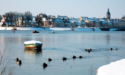
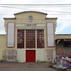
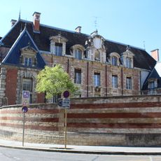
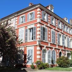
Chalon-sur-Saône is an administrative commune in Saône-et-Loire that stretches along both banks of the river of the same name, encompassing several districts with residential, commercial, and industrial zones. The town sits roughly halfway between Dijon to the north and Lyon to the south, serving as a regional center with schools, government offices, and a railway station.
During Roman rule, the settlement was called Cabillonum and stood on a major road running from Lyon to Trier. In the Middle Ages, the town grew as a trading hub for grain and wine before expanding in the 19th century with the railway and later with industry.
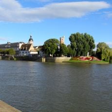
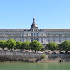
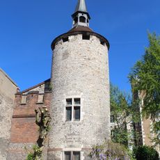
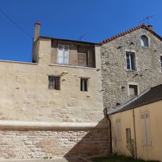
The name derives from the Celtic Aedui tribe who settled along this river stretch long before Roman merchants reached the area. Today, along the waterfront promenades and squares, you see traces of this long settlement history in bridges, warehouses, and residential districts that show how central the water was to daily life.
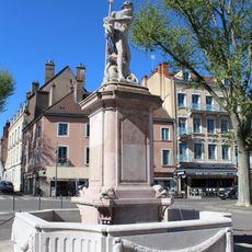
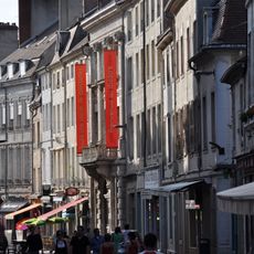
Travelers reach the town easily by train from Paris or Lyon and find shops, restaurants, and public services within walking distance of the center. The riverfront promenades offer walking paths along the water, while several bridges link the two halves of the town.
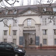
Nicéphore Niépce, born here, achieved the world's first permanent photograph in 1826 by exposing a coated pewter plate to light for hours. Every July, the lanes and squares transform during the street theater festival, when performer groups from many countries present their shows outdoors.
The community of curious travelers
AroundUs brings together thousands of curated places, local tips, and hidden gems, enriched daily by 60,000 contributors worldwide.