
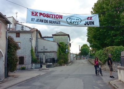
Saint-Jean-de-Serres, commune in Gard, France
Location: canton of Lédignan
Location: Gard
Location: arrondissement of Alès
Elevation above the sea: 94 m
Industry: administration publique générale
Shares border with: Aigremont, Canaules-et-Argentières, Cardet, Lédignan, Lézan, Savignargues
Phone: +33466834107
Email: mairie-st-jean-de-serres@orange.fr
Website: http://saintjeandeserres.fr
GPS coordinates: 43.99333,4.07000
Latest update: May 26, 2025 04:08
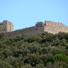
Château de Tornac
7.5 km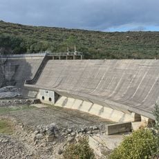
Barrage de la Rouvière
8.3 km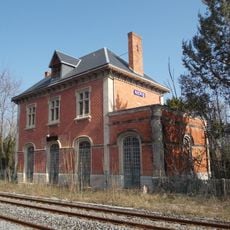
Gare de Ners
7.5 km
Abbaye de Tornac
7.3 km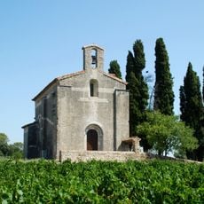
Église Saint-Baudile de Tornac
7 km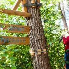
Forest Parc
8.6 km
Église de Saint-Martin de Sossenac
8.7 km
Cave coopérative de Saint-Théodorit
5.7 km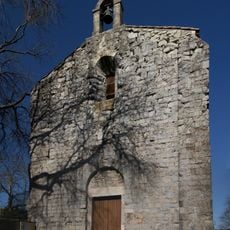
Église Saint-Étienne de Domessargues
8.1 km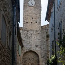
Sabran Gate
8.6 km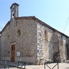
Temple de Lézan
2.7 km
Protestant church
8 km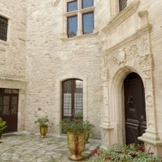
Montfaucon mansion
8.8 km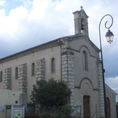
Église Saint-Laurent de Lédignan
3 km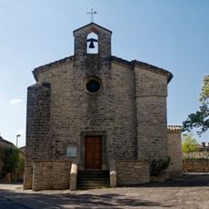
Église Saint-Martin de Logrian-Florian
5.2 km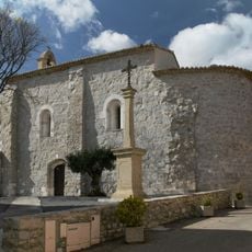
Église Saint-Martin de Montagnac
8.8 km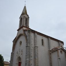
Église Saint-Pierre-et-Saint-Paul de Lézan
2.5 km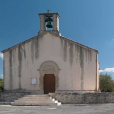
Église de Saint-Théodorit
5.9 km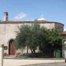
Église Saint-Côme-et-Saint-Damien de Mauressargues
8 km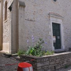
Temple protestant de Canaules-et-Argentières
2 km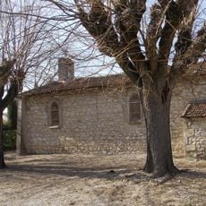
Chapelle Sainte-Thérèse-de-l'Enfant-Jésus de Ners
8.1 km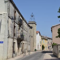
Temple de Lédignan
3 km
Château de Durfort
9.2 km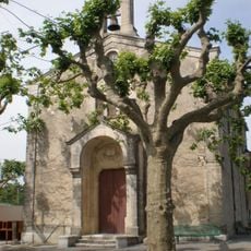
Temple, Saint-Théodorit
5.8 km
Tour de l'Horloge et Château de Lézan
2.7 km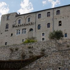
De Girad's Castle
8.5 km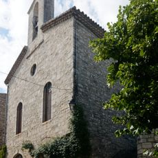
Meeting house in Vézénobres
8.5 km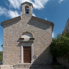
Temple de Logrian-Florian
5.3 kmVisited this place? Tap the stars to rate it and share your experience / photos with the community! Try now! You can cancel it anytime.
Discover hidden gems everywhere you go!
From secret cafés to breathtaking viewpoints, skip the crowded tourist spots and find places that match your style. Our app makes it easy with voice search, smart filtering, route optimization, and insider tips from travelers worldwide. Download now for the complete mobile experience.

A unique approach to discovering new places❞
— Le Figaro
All the places worth exploring❞
— France Info
A tailor-made excursion in just a few clicks❞
— 20 Minutes