Enable Location

We need your location to show you interesting places around you

Discover nearby places

Find interesting locations and hidden gems around you

Precise directions

Get accurate directions and distances to places

Your location is never shared with other users. It's only used when you tap the location button.

Saint-Mandrier-sur-Mer

Log in to your account

Start exploring — it's free

Trusted by 62,558 travelers worldwide

Continue with Google
Continue with Apple
or

We will send you a code to connect

By continuing, you accept our Terms and Conditions and our Privacy Policy

Check your inbox

We've sent a pincode in your inbox. Please enter the code below.

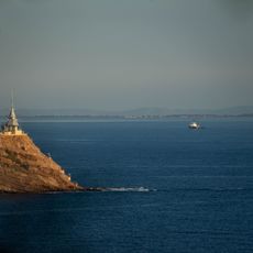
Saint-Mandrier-sur-Mer, Coastal commune in Var, France

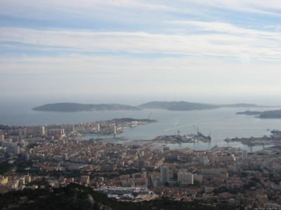
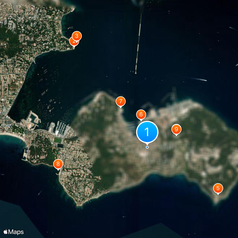
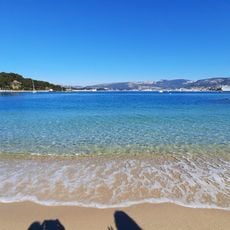
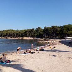
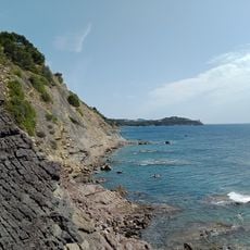
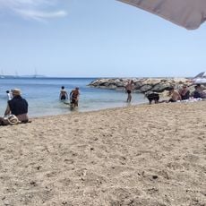
Saint-Mandrier-sur-Mer is a coastal commune stretching along the Mediterranean near Toulon's naval port, with multiple beaches and sheltered waters. The area connects to the mainland through a causeway built centuries ago, forming a connected peninsula.

The area was originally an island called Île de Sépet until a causeway connecting it to the mainland was built between 1630 and 1657. This engineering project transformed it into a peninsula and allowed a separate settlement to develop.

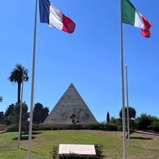
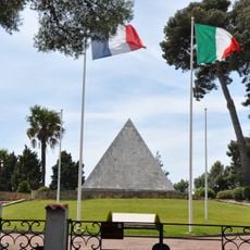
The national necropolis serves as a burial ground for soldiers from multiple nations who died during the world wars. Walking through it, visitors encounter stories of different countries and their shared history in this coastal setting.

Weekly markets operate on Saturdays with fresh local produce, making it easy to find food and supplies. Public buses connect the area to nearby Toulon and surrounding communities throughout the week.

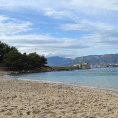
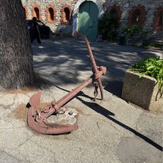
A retired naval frigate called Suffren now sits in the water as a wave-breaker, creating an unusual landmark. This repurposed warship stands as a physical reminder of how closely the commune's past remains tied to maritime operations.

The community of curious travelers

AroundUs brings together thousands of curated places, local tips, and hidden gems, enriched daily by 60,000 contributors worldwide.

Start exploring
Location
Var
Inception
1978
Elevation above the sea
35 m
Shares border with
La Seyne-sur-Mer
Address
83500 Saint-Mandrier-sur-Mer, France
Phone
GPS coordinates
43.07611,5.92778
Latest update
December 20, 2025 02:35
« Saint-Mandrier-sur-Mer - Coastal commune in Var, France » is provided by Around Us (aroundus.com). Images and texts are derived from Wikimedia project under a Creative Commons license. You are allowed to copy, distribute, and modify copies of this page, under the conditions set by the license, as long as this note is clearly visible.

Discover hidden gems everywhere you go!

From secret cafés to breathtaking viewpoints, skip the crowded tourist spots and find places that match your style. Our app makes it easy with voice search, smart filtering, route optimization, and insider tips from travelers worldwide. Download now for the complete mobile experience.

Around Us App Screenshot

A unique approach to discovering new places

Le Figaro

All the places worth exploring

France Info

A tailor-made excursion in just a few clicks

20 Minutes

Around Us
Travel Guide & Maps
Download

Send to your phone

QR Code
1

Open the camera app on your mobile.

2

Point at the QR code with your camera. A notification will appear.

3

Tap the notification to open the link.