Enable Location

We need your location to show you interesting places around you

Discover nearby places

Find interesting locations and hidden gems around you

Precise directions

Get accurate directions and distances to places

Your location is never shared with other users. It's only used when you tap the location button.

La Perrière

Log in to your account

Start exploring — it's free

Trusted by 61,584 travelers worldwide

Continue with Google
Continue with Apple
or

We will send you a code to connect

By continuing, you accept our Terms and Conditions and our Privacy Policy

Check your inbox

We've sent a pincode in your inbox. Please enter the code below.

La Perrière, Delegated commune in Orne department, Normandy region, France.

Description

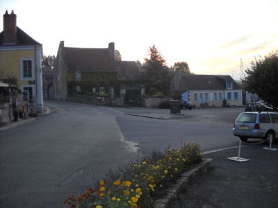
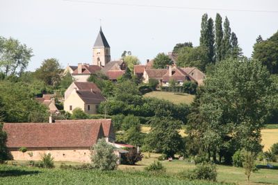
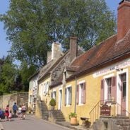
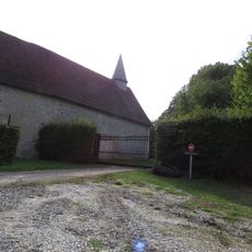
La Perrière covers 16.16 square kilometers at elevations between 122 and 226 meters, featuring traditional stone houses and rural landscapes typical of the Perche region with agricultural fields and small forests.

History

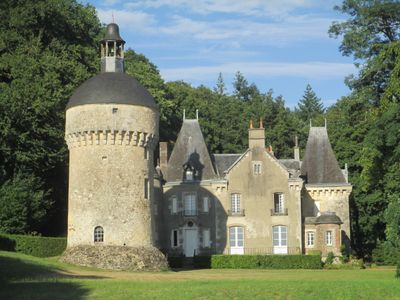
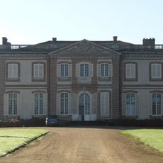
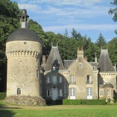
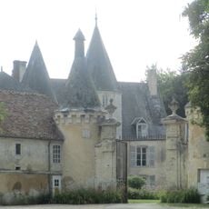
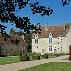
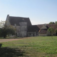
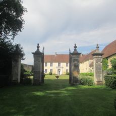
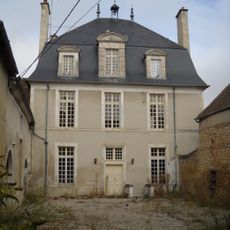
Former canton capital until 1801, La Perrière preserves medieval heritage including the 15th-century Château de Morthimer and archaeological remains from a fortress destroyed in 1449 during the Hundred Years' War.

Culture

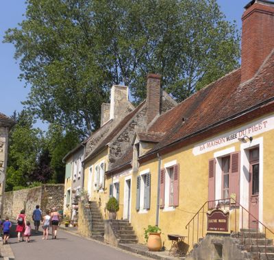
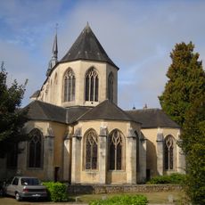
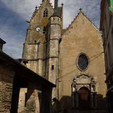
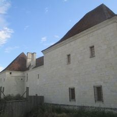
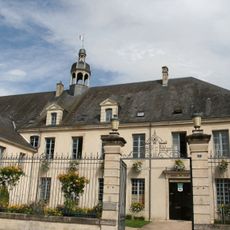
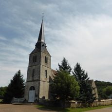
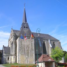
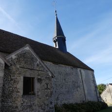
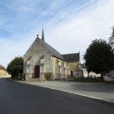
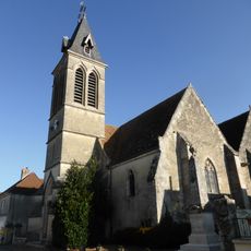
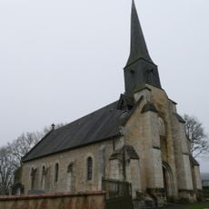
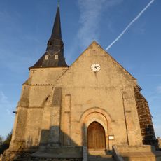
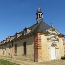
The commune holds the Small Cities of Character label and maintains its architectural heritage through Notre-Dame-du-Rosaire church and several classified historical monuments reflecting Norman rural traditions and craftsmanship.

Practical

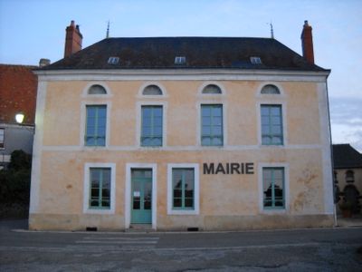
The delegated town hall located at Grande Place offers administrative services on Thursday mornings from 10:00 AM to 12:00 PM for the 259 residents of this commune integrated into Belforêt-en-Perche.

Did you know?

The ancient quarries of La Perrière supplied white stone used in regional construction projects for centuries, giving the commune its name and creating a distinctive landscape within the Perche natural regional park.

Location
Elevation above the sea
178 m
Shares border with
Origny-le-Butin, Bellavilliers, Chemilli, Le Gué-de-la-Chaîne, Montgaudry, Pervenchères, Saint-Jouin-de-Blavou, Suré
GPS coordinates
48.38944,0.44222
Latest update
August 21, 2025 08:29

AroundUs brings together thousands of curated places, local tips, and hidden gems, enriched daily by 60,000 contributors worldwide. Discover all places nearby (canton of Pervenchères).

« La Perrière - Delegated commune in Orne department, Normandy region, France » is provided by Around Us (aroundus.com). Images and texts are derived from Wikimedia project under a Creative Commons license. You are allowed to copy, distribute, and modify copies of this page, under the conditions set by the license, as long as this note is clearly visible.

Discover hidden gems everywhere you go!

From secret cafés to breathtaking viewpoints, skip the crowded tourist spots and find places that match your style. Our app makes it easy with voice search, smart filtering, route optimization, and insider tips from travelers worldwide. Download now for the complete mobile experience.

Around Us App Screenshot

A unique approach to discovering new places

Le Figaro

All the places worth exploring

France Info

A tailor-made excursion in just a few clicks

20 Minutes

Around Us
Travel Guide & Maps
Download

Send to your phone

QR Code
1

Open the camera app on your mobile.

2

Point at the QR code with your camera. A notification will appear.

3

Tap the notification to open the link.