Enable Location

We need your location to show you interesting places around you

Discover nearby places

Find interesting locations and hidden gems around you

Precise directions

Get accurate directions and distances to places

Your location is never shared with other users. It's only used when you tap the location button.

Monistrol-sur-Loire

Log in to your account

Start exploring — it's free

Trusted by 63,016 travelers worldwide

Continue with Google
Continue with Apple
or

We will send you a code to connect

By continuing, you accept our Terms and Conditions and our Privacy Policy

Check your inbox

We've sent a pincode in your inbox. Please enter the code below.

Monistrol-sur-Loire
Discussion Reviews 1 Photos
18.3k Popularity

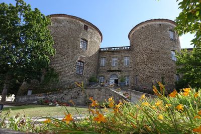
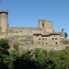
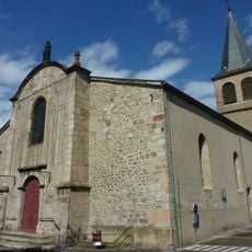
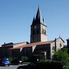
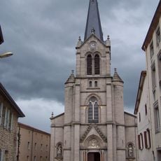
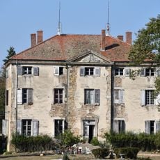
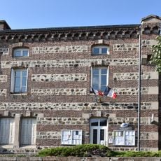
Monistrol-sur-Loire, Administrative center in Haute-Loire, France

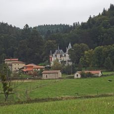
Monistrol-sur-Loire is a town in Haute-Loire in south-central France situated on rolling terrain shaped by two river systems. The Lignon du Velay and Loire rivers flow through the area, influencing how the town is organized and how people move through it.

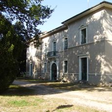
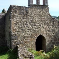
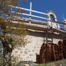
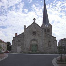
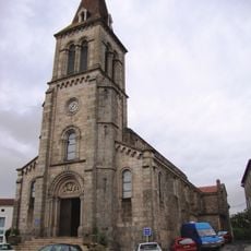
The settlement grew over several centuries into a more substantial community, with development tied to river crossings and trade. Its location along the water systems made it an important point for movement and commerce in the region.

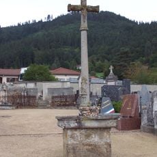
The town maintains strong ties to the Auvergne region through local festivals and community gatherings held throughout the year. You can experience these traditions by visiting during market days and seasonal celebrations in the town center.

The town is best explored on foot, with varying elevations creating a mix of pathways throughout the area. It helps to wear comfortable shoes and keep the river locations in mind as orientation points when walking around.

Two rivers meet at this location, creating a distinctive geographical feature that is not immediately obvious when you arrive. As you walk through the area, this convergence becomes apparent only when you approach the riverbanks.

The community of curious travelers

AroundUs brings together thousands of curated places, local tips, and hidden gems, enriched daily by 60,000 contributors worldwide.

Start exploring
Location
Elevation above the sea
652 m
Shares border with
Bas-en-Basset, Beauzac, La Chapelle-d'Aurec, Pont-Salomon, Saint-Maurice-de-Lignon, Sainte-Sigolène, La Séauve-sur-Semène, Les Villettes
Address
7 avenue de la Libération, 43120 Monistrol-sur-Loire
Phone
GPS coordinates
45.29250,4.17222
Latest update
December 7, 2025 19:22
Reviews
Share your experience

No review yet

Discussions
Start a discussion...

No discussion yet

« Monistrol-sur-Loire - Administrative center in Haute-Loire, France » is provided by Around Us (aroundus.com). Images and texts are derived from Wikimedia project under a Creative Commons license. You are allowed to copy, distribute, and modify copies of this page, under the conditions set by the license, as long as this note is clearly visible.

Discover hidden gems everywhere you go!

From secret cafés to breathtaking viewpoints, skip the crowded tourist spots and find places that match your style. Our app makes it easy with voice search, smart filtering, route optimization, and insider tips from travelers worldwide. Download now for the complete mobile experience.

Around Us App Screenshot

A unique approach to discovering new places

Le Figaro

All the places worth exploring

France Info

A tailor-made excursion in just a few clicks

20 Minutes

Around Us
Travel Guide & Maps
Download

Send to your phone

QR Code
1

Open the camera app on your mobile.

2

Point at the QR code with your camera. A notification will appear.

3

Tap the notification to open the link.