Liamone, River in South Corsica, France
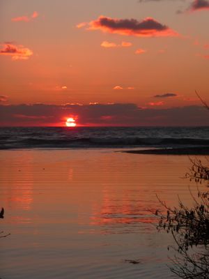
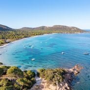
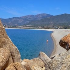
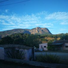
The Liamone is a river that flows from Monte Cimatella in the mountains down to the Gulf of Sagone north of Ajaccio, passing through approximately ten communities along its course. The waterway winds through mountainous terrain and is shaped by forests and valleys, creating a varied landscape with distinct sections.
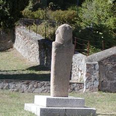
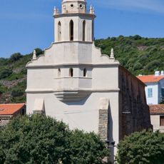
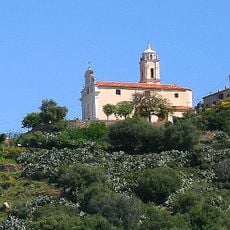
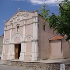
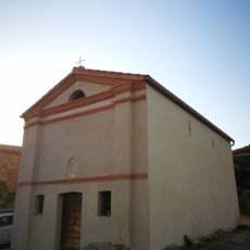
The river's name traces back to ancient Latin origins and reflects the long history of this region under different rulers. For centuries, the waterway served as a vital source for irrigation and fishing, shaping the development of surrounding communities.
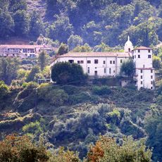
The river runs through areas where locals have cultivated olive and chestnut trees for generations, and these crops continue to shape daily life in the surrounding communities. Walking along the valley, you notice the terraced orchards and small farms that define the region's agricultural character.
The river is accessible from the RD81 road, which runs alongside many sections and provides several entry points for activities. The most convenient location for water access and exploration is at the bridge in Guagno les Bains, from where the waterway is easy to reach.
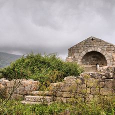
Within the river's course lies a striking waterfall formation called Piscia, where water cascades over a notable elevation change. This natural feature stands out along the less-traveled route and intrigues many visitors exploring the mountainous terrain.
Location: South Corsica
GPS coordinates: 42.07806,8.71694
Latest update: December 6, 2025 17:43
The Corsican coastline extends over 1,000 kilometers and features numerous sandy beaches, rocky coves and marine reserves. The waters around Porto-Vecchio in the southeast of the island display fine white sand and turquoise water. The Bonifacio region presents limestone cliffs and sheltered bays, while beaches near Calvi on the northwest coast are bordered by pine forests. The eastern shore between Bastia and Solenzara offers long sandy beaches with shallow access to the sea. The western coast reveals granite formations and small coves between Piana and Scandola. Cap Corse in the north provides pebble beaches and rocky sections. Water temperatures reach 24 to 26 degrees Celsius during summer, while the swimming season runs from June to September.
Torra di Carghjesi
12.2 km
Torra di Sagone
4.4 km
Stantara d'Apricciani
11.2 km
Torra di Capigliolu
1.5 km
Torra d'Ancone
4.1 km
Couvent de Saint-François de Vico
11.6 km
Cargèse Orthodox Church
11.8 km
Église Latine de Cargèse
11.7 km
Cathédrale Sant'Appiano de Sagone
5 km
Plage du Liamone
667 m
Plage de Stagnone
4.3 km
Église Saint-Laurent de Murzo
13.5 km
Plage de Sagone
4.3 km
Église Saint-Pierre-et-Saint-Paul de Nesa
11.2 km
Église Saint-Nicolas d'Arro
8.2 km
Église Saint-Côme-et-Saint-Damien d'Ambiegna
6.2 km
Église Sainte-Marie de Vico
12.1 km
Couvent de Saint-François de Vico
11.5 km
Église Saint-Antoine d'Afa
12.4 km
Ancienne église Saint-Élie de Cargèse
10.2 km
Punta Mora
11.7 km
Chapelle Saint-Sébastien dite San-Bastiano de Bocca San-Bastiano
6.4 km
Chapelle Saint-Appien de Sagone
4 km
Église Saint-Siméon de Marignana
13.2 km
Plage de San Giuseppe
631 m
Plage de Stagnoli
7.3 km
Chapelle funéraire de Cargèse
11.1 km
Chapelle Sainte-Marie de Paomia
9.5 kmReviews
Visited this place? Tap the stars to rate it and share your experience / photos with the community! Try now! You can cancel it anytime.
Discover hidden gems everywhere you go!
From secret cafés to breathtaking viewpoints, skip the crowded tourist spots and find places that match your style. Our app makes it easy with voice search, smart filtering, route optimization, and insider tips from travelers worldwide. Download now for the complete mobile experience.
A unique approach to discovering new places❞
— Le Figaro
All the places worth exploring❞
— France Info
A tailor-made excursion in just a few clicks❞
— 20 Minutes