
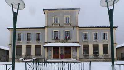
Town hall of Champfromier, mairie située dans l'Ain, en France
Location: Champfromier
Address: 541 RTE DES BURGONDES, 01410 CHAMPFROMIER
GPS coordinates: 46.19398,5.81681
Latest update: March 8, 2025 14:07

Grand Crêt d'Eau
6 km
Pont des Pierres
3.2 km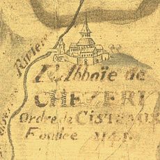
Abbaye de Chézery
4.9 km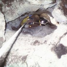
Gouffre de la Rasse
5.8 km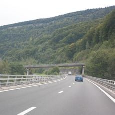
Viaduc du Tacon
5.7 km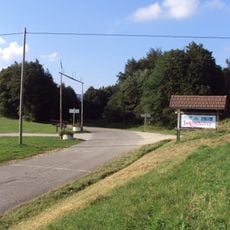
Col de Menthières
2.9 km
Réserve naturelle régionale de la galerie du pont des pierres
3.3 km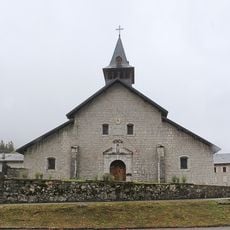
Église Notre-Dame-de-l'Assomption de Chézery-Forens
5 km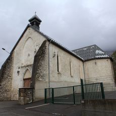
Église de l'Immaculée-Conception de Confort
4.9 km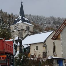
Église Saint-André de Montanges
3.4 km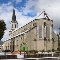
Église Saint-Jean-Baptiste de Châtillon-en-Michaille
5.8 km
Église Notre-Dame-de-l'Assomption de Giron
4.9 km
Église Saint-Martin de Champfromier
340 m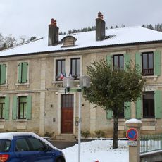
Town hall of Montanges
3.4 km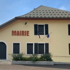
Mairie de Chézery-Forens
5 km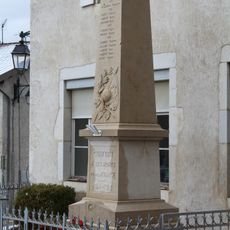
War memorial of Confort
4.9 km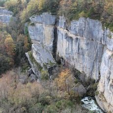
Gorges de la Valserine
2.3 km
War memorial of Chézery-Forens
4.9 km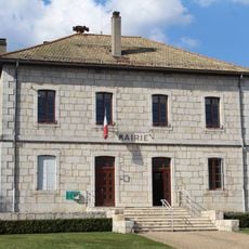
Mairie d'Échallon
6.1 km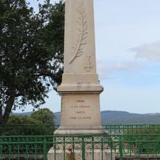
War memorial of Giron
4.8 km
Town hall of Confort
4.8 km
War memorial of Champfromier
29 m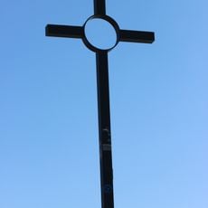
Croix du Crêt de la Goutte
6.1 km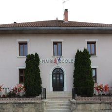
Town hall of Giron
4.8 km
Former town hall of Forens
4 km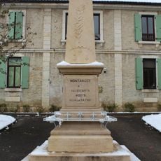
War memorial of Montanges
3.4 km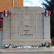
War memorial of Châtillon-de-Michaille
5.9 km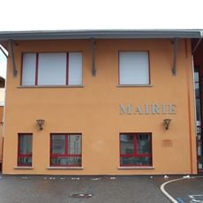
Town hall of Châtillon-en-Michaille
5.9 kmReviews
Visited this place? Tap the stars to rate it and share your experience / photos with the community! Try now! You can cancel it anytime.
Discover hidden gems everywhere you go!
From secret cafés to breathtaking viewpoints, skip the crowded tourist spots and find places that match your style. Our app makes it easy with voice search, smart filtering, route optimization, and insider tips from travelers worldwide. Download now for the complete mobile experience.

A unique approach to discovering new places❞
— Le Figaro
All the places worth exploring❞
— France Info
A tailor-made excursion in just a few clicks❞
— 20 Minutes