Purbasthali II community development block

Log in to your account

AroundUs is a community-driven map of interesting places, built by curious explorers like you. It grows with every review, story, and photo you share.
Connect to save your favorite spots, contribute locations, and create personalized routes.
By continuing, you accept our Terms and Conditions and our Privacy Policy

Purbasthali II community development block

Add to collection
Map
Suggest a change
Share

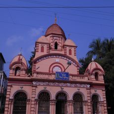
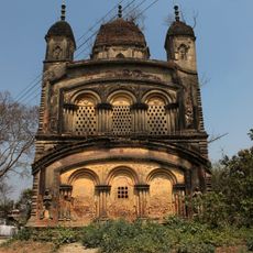
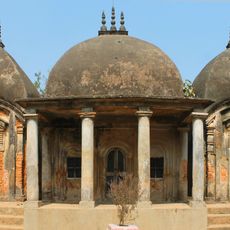
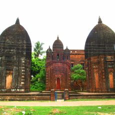
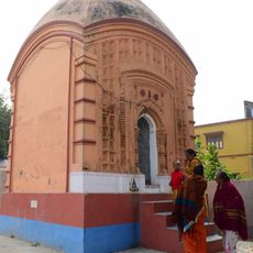
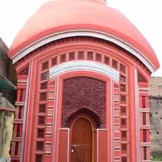
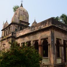
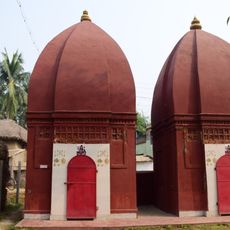
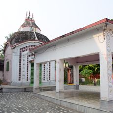
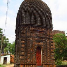
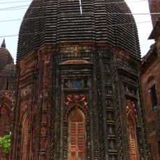
Purbasthali II community development block, Community development block in Kalna subdivision, India.

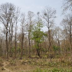
Purbasthali II is an administrative block in the Kalna region comprising around 88 villages spread across a larger area. Swamps and waterlogged ground shape much of the landscape, especially near the Bhagirathi river where soils are enriched by silt.

After India's partition in 1947, skilled weavers from Dhaka moved into the region and set up weaving centers across several villages. This migration brought established textile traditions that reshaped the local economy.

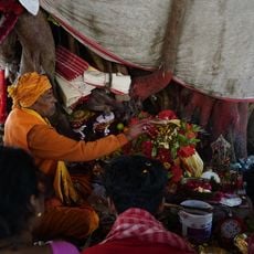
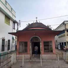
Bengali is the language you hear everywhere in daily conversations, from markets to homes, shaping how communities interact and celebrate local traditions. Different religious groups have lived together here for generations, maintaining their own practices while sharing common village customs.

All areas have electrical power, and drinking water access is available across the villages. Visitors should be aware of swampy conditions and soft ground, especially during the monsoon season when water levels rise significantly.

Much of the workforce depends on agricultural work in irrigated fields, with rice and jute as the main crops grown here. This form of production has sustained communities through many generations and shapes how the land is used today.

Location: Kalna subdivision

Shares border with: Nakashipara community development block, Krishnanagar II community development block, Nabadwip community development block, Katwa II community development block, Manteswar community development block, Purbasthali I community development block

GPS coordinates: 23.55000,88.25000

Latest update: December 11, 2025 18:05

Photos
Reviews

Visited this place? Tap the stars to rate it and share your experience / photos with the community! Try now! You can cancel it anytime.

« Purbasthali II community development block - Community development block in Kalna subdivision, India » is provided by Around Us (aroundus.com). Images and texts are derived from Wikimedia project under a Creative Commons license. You are allowed to copy, distribute, and modify copies of this page, under the conditions set by the license, as long as this note is clearly visible.

Discover hidden gems everywhere you go!

From secret cafés to breathtaking viewpoints, skip the crowded tourist spots and find places that match your style. Our app makes it easy with voice search, smart filtering, route optimization, and insider tips from travelers worldwide. Download now for the complete mobile experience.

Around Us App Screenshot

A unique approach to discovering new places

Le Figaro

All the places worth exploring

France Info

A tailor-made excursion in just a few clicks

20 Minutes