Pursurah community development block, Administrative block in Arambag subdivision, India.
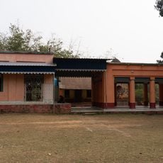
Pursurah is a community development block in Arambag subdivision covering roughly 100 square kilometers across West Bengal's Hooghly district. The area features rural settlements surrounded by cultivated fields and waterways that shape daily life.
This block has been an agricultural center for generations, with farmers cultivating rice, jute, and potatoes on fertile land. These rural practices shaped settlement patterns and regional development over time.
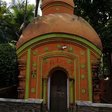
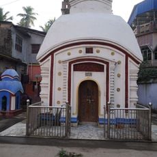
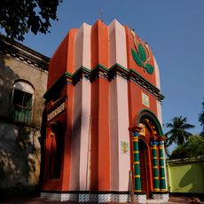
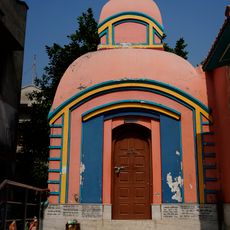
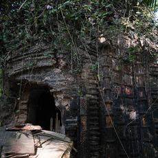
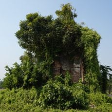
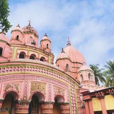
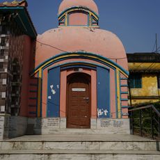
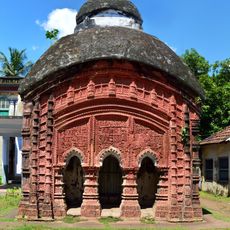
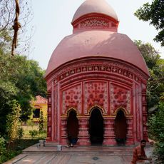
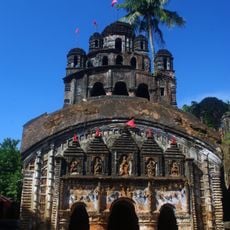
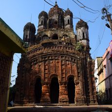
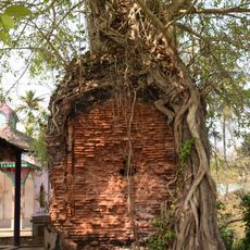
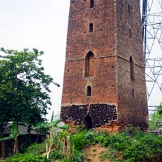
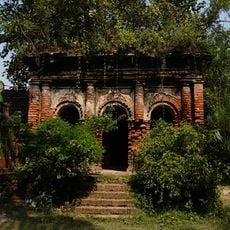
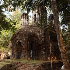
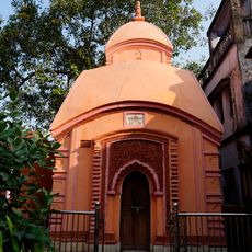
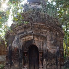
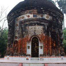
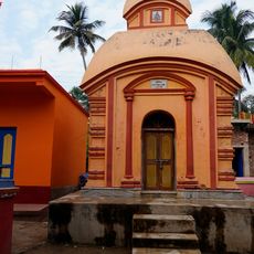
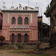
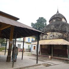
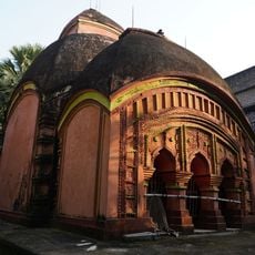
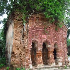
The temples in Parul feature detailed terracotta work that reflects local building styles and remains central to community worship. These crafted details show traditions passed down through generations of local artisans.
The block has a primary health center and additional medical facilities available for visitors and residents needing basic care. It helps to locate these services beforehand if planning to spend time exploring the rural area.
Ferry services connect different areas and preserve a traditional form of river navigation that has survived for generations. These waterways shape how communities interact and move across the region daily.
Location: Arambag subdivision
Elevation above the sea: 13 m
Shares border with: Raina II community development block, Dhaniakhali community development block, Tarakeswar community development block, Jangipara community development block, Khanakul I community development block, Arambagh community development block
GPS coordinates: 22.85028,87.96278
Latest update: December 11, 2025 18:10
Jawahar Navodaya Vidyalaya, Hooghly
14.1 km
Aatchala Shiva temple of Pal family
12.9 km
Harishwar Shiva temple
23.1 km
Shridharjiu temple of Chattopadhyay family
23 km
Dharmaraj temple
14 km
Garhchandi temple
23.1 km
Gopinathjiu temple
21.7 km
Gopinath Mandir
16.7 km
Udaynarayanpur Aatchala Shiva temple
14 km
Bishalakshi temple
24.9 km
Damodar Temple
26 km
Maninath Shiva temple
21.9 km
Jorbangla Navaratna Durga temple
20.6 km
Sridhar Temple
9.1 km
Bankul Atchala Shiva Temple
26 km
Aknapur Great Trigonometrical Survey tower
10.9 km
Raghunathjiu temple of Singha Roy family
20.4 km
Singti Pancharatna temple
18.1 km
Bishweshwar Shiva temple
23.1 km
Hara Sundar Shiva Temple
9.1 km
Mahendreshwar Shiva temple
24.2 km
Pareshnath Shiva temple of Dwari family
21.4 km
Damodarjiu temple of Dwari family
21.4 km
Rameshwar Shiva temple of Dwari family
21.3 km
Parbatichak semaphore tower
18 km
Gopinath Jiu temple of Chowdhury family
26.3 km
Shiva temple of Pal family
24.3 km
Bhola Great Trigonometrical Survey tower
23.4 kmVisited this place? Tap the stars to rate it and share your experience / photos with the community! Try now! You can cancel it anytime.
Discover hidden gems everywhere you go!
From secret cafés to breathtaking viewpoints, skip the crowded tourist spots and find places that match your style. Our app makes it easy with voice search, smart filtering, route optimization, and insider tips from travelers worldwide. Download now for the complete mobile experience.
A unique approach to discovering new places❞
— Le Figaro
All the places worth exploring❞
— France Info
A tailor-made excursion in just a few clicks❞
— 20 Minutes