
Ben County, county in Chaharmahal and Bakhtiari Province, Iran
Location: Chaharmahal and Bakhtiari Province
GPS coordinates: 32.55000,50.65000
Latest update: March 31, 2025 00:34
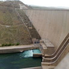
Zayanderud Dam
22 km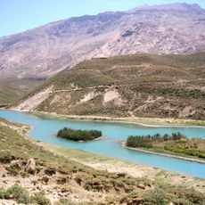
Kuhrang-1 Dam
53 km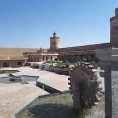
Sheikh Bahai Citadel
66.8 km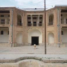
Dezak Castle
60.1 km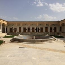
Sotudeh House
23.1 km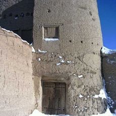
Ali Ahmad Domab Castle
64.1 km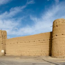
Domab Castle
64 km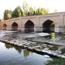
Kaleh Bridge
58.5 km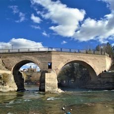
Zaman Khan Bridge
24.3 km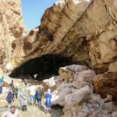
Chama Ice Cave
64.6 km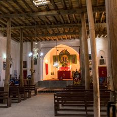
Saint Mary Church (Khuygan-e Olya)
69.9 km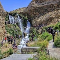
Sheykh Ali Khan Waterfall
54.9 km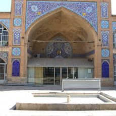
Jameh Mosque of Shahr-e Kord
31.6 km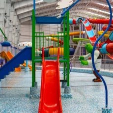
دهکده موج آبی دیارا
37.5 km
Khalaja Mosque
39.3 km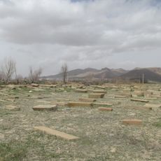
Sirak Armenian Cemetery
40.6 km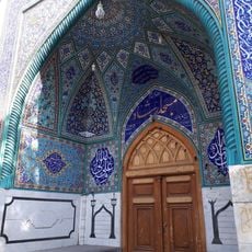
Ershad Mosque
67.5 km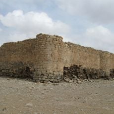
Domab Stone Castle
67.6 km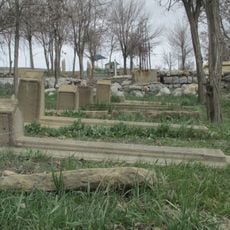
Bozlar Cemetery
38.2 km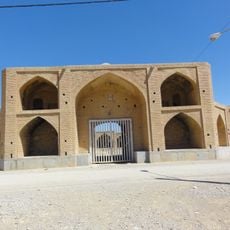
Hosnijeh Caravanserai
66 km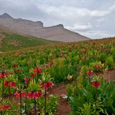
Fritillaria Plain, Koohrang
41.7 km
Zamanian Oil Mill
67.4 km
Tepe Eskandari
38.9 km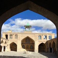
Jameh Mosque of Chaleshtar
23.2 km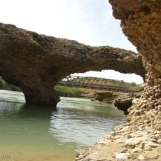
Rostamabad Bridge (Karun)
52.9 km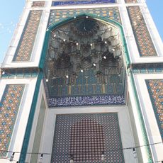
Azam Hussainiya (Najafabad)
67.5 km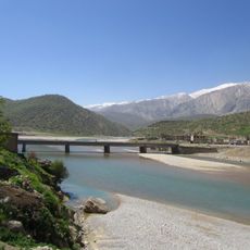
Chaman Goli Bridge
69 km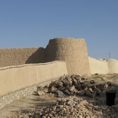
Darvish Beg Castle
64 kmReviews
Visited this place? Tap the stars to rate it and share your experience / photos with the community! Try now! You can cancel it anytime.
Discover hidden gems everywhere you go!
From secret cafés to breathtaking viewpoints, skip the crowded tourist spots and find places that match your style. Our app makes it easy with voice search, smart filtering, route optimization, and insider tips from travelers worldwide. Download now for the complete mobile experience.

A unique approach to discovering new places❞
— Le Figaro
All the places worth exploring❞
— France Info
A tailor-made excursion in just a few clicks❞
— 20 Minutes