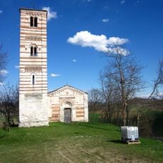
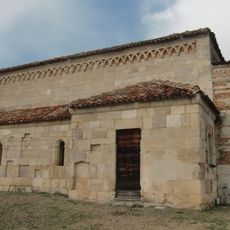
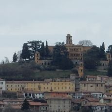
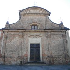
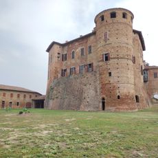
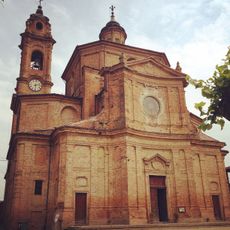
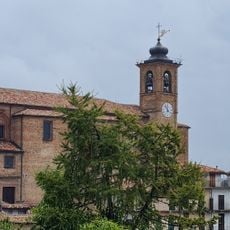
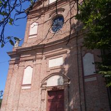
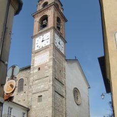
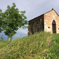
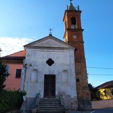
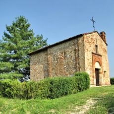
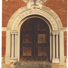
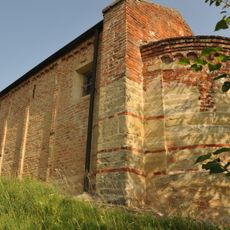
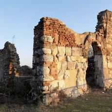
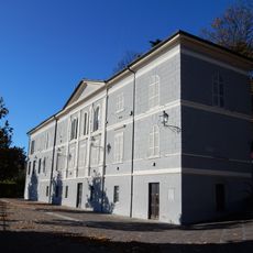
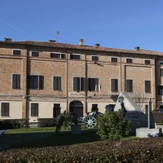
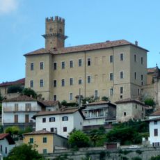
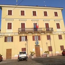
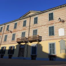
Montiglio Monferrato, Italian comune
Location: Province of Asti
Elevation above the sea: 321 m
Shares border with: Cunico, Piovà Massaia, Montechiaro d'Asti, Villa San Secondo, Cocconato, Tonco, Villadeati, Murisengo, Robella
Website: http://comune.montigliomonferrato.at.it
GPS coordinates: 45.06611,8.09833
Latest update: April 2, 2025 06:54
Church of Saints Nazarius and Celsus
5.3 km
Pieve di San Lorenzo
664 m
Castello di Villadeati
5.5 km
Chiesa di Sant'Andrea Apostolo
5.2 km
San Secondo di Cortazzone
9.8 km
Castello di Frinco
8.9 km
Santi Piero e Giorgio
3.8 km
Santa Maria della Consolazione
5.2 km
Santi Matteo e Secondo
7.3 km
Chiesa di Santa Maria della Pace
147 m
Chiesa dei Santi Pietro e Paolo
6.3 km
Churches in Montechiaro d'Asti
5.8 km
Chiesa di Sant'Antonio
8.4 km
Cerreto d'Asti
5.7 km
Santi Sebastiano e Fabiano
2.9 km
Santa Maria di Rasetto
8.8 km
San Martino
4.1 km
Panchina gigante (Tonco)
9.1 km
Town hall of Robella
4 km
Town hall
4.6 km
Church of St. Peter and St. Gregory
7.9 km
Castello di Murisengo
4 km
Castello di Soglio
8 km
Big bench (Odalengo Grande)
7 km
Town hall of Tonco
8.6 km
Town hall of Cocconato
5.2 km
Big bench (Alfiano Natta)
8.4 km
Town hall of Brozolo
6.1 kmReviews
Visited this place? Tap the stars to rate it and share your experience / photos with the community! Try now! You can cancel it anytime.
Discover hidden gems everywhere you go!
From secret cafés to breathtaking viewpoints, skip the crowded tourist spots and find places that match your style. Our app makes it easy with voice search, smart filtering, route optimization, and insider tips from travelers worldwide. Download now for the complete mobile experience.
A unique approach to discovering new places❞
— Le Figaro
All the places worth exploring❞
— France Info
A tailor-made excursion in just a few clicks❞
— 20 Minutes