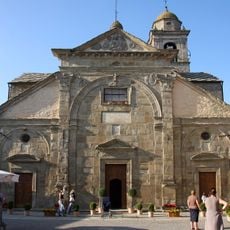
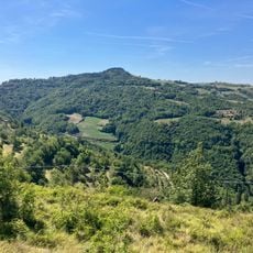
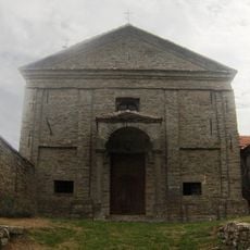
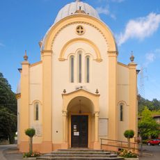
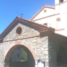
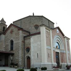
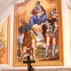
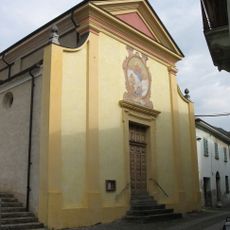
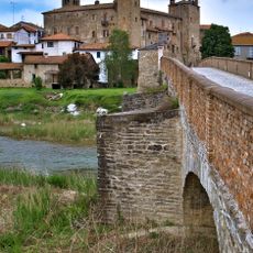
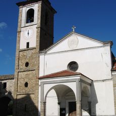
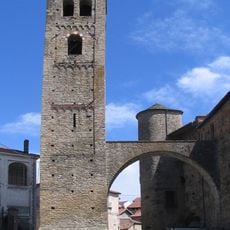
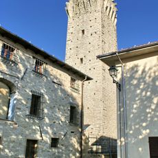
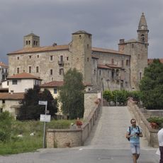
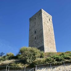
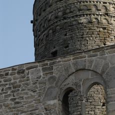
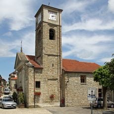
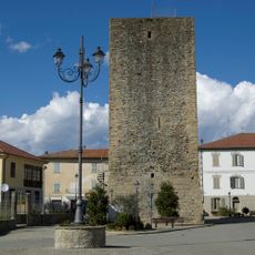
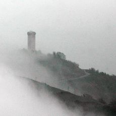
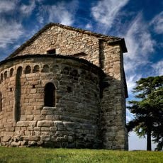
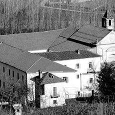
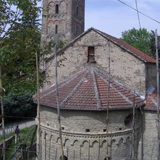
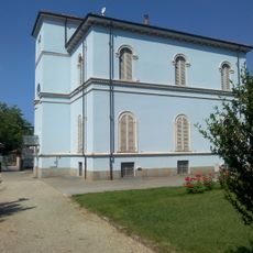
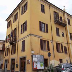
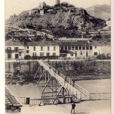
Roccaverano, Italian comune
Location: Province of Asti
Elevation above the sea: 759 m
Website: http://www.comune.roccaverano.at.it
Shares border with: Bubbio, Denice, Loazzolo, Mombaldone, Monastero Bormida, San Giorgio Scarampi, Serole, Spigno Monferrato, Vesime, Cessole, Olmo Gentile, Montechiaro d'Acqui
Website: http://comune.roccaverano.at.it
GPS coordinates: 44.59333,8.27333
Latest update: March 5, 2025 18:09
Santa Maria Annunziata
131 m
Bric Puschera
3.5 km
San Giovanni Battista
1.1 km
Sanctuary of Our Lady of Graces and of the Alpini
10.4 km
Santa Rosalia
11.8 km
Santuario Madonna della Divina Grazia
9.3 km
San Pantaleo
6.6 km
San Michele Arcangelo
7 km
San Rocco
5.9 km
San Colombano
8.7 km
Castle of Monastero Bormida
7.3 km
San Pietro in Vincoli
6.9 km
Torre campanaria
7.3 km
Medieval tower in Olmo Gentile
2.3 km
Ponte romanico
7.1 km
Torre medievale
3.2 km
Castle of Roccaverano
177 m
Natività di Maria Vergine
8.8 km
Ciminiera - ex fornace
6.4 km
Torre
11.6 km
Santissima Trinità
7 km
Torre di Vengore
2.2 km
San Sebastiano
8.5 km
San Francesco (Cortemilia)
6.6 km
Santa Maria
6.2 km
Town hall of Bubbio
8 km
Town hall of Spigno Monferrato
7.5 km
Castello di Cortemilia
6.8 kmReviews
Visited this place? Tap the stars to rate it and share your experience / photos with the community! Try now! You can cancel it anytime.
Discover hidden gems everywhere you go!
From secret cafés to breathtaking viewpoints, skip the crowded tourist spots and find places that match your style. Our app makes it easy with voice search, smart filtering, route optimization, and insider tips from travelers worldwide. Download now for the complete mobile experience.
A unique approach to discovering new places❞
— Le Figaro
All the places worth exploring❞
— France Info
A tailor-made excursion in just a few clicks❞
— 20 Minutes