Villa Santa Maria, Mountain commune in Valsangro, Italy
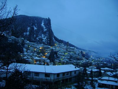
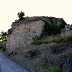
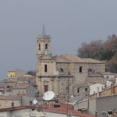
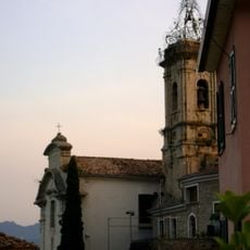
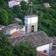
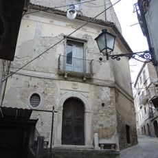
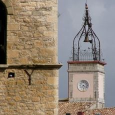
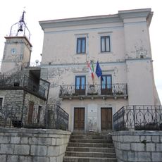
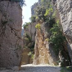
Villa Santa Maria is a mountain village in the Sangro Valley, nestled on the southern slopes of Monte Vecchio at about 390 meters elevation. The settlement spreads along the Sangro River with stone houses and pathways that wind through the hillside terrain.
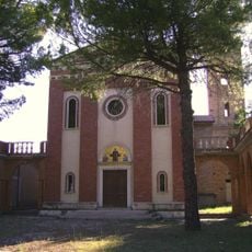
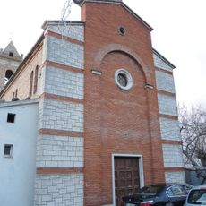
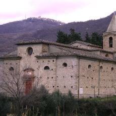
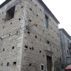
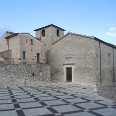
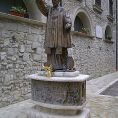
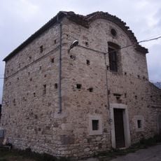
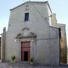
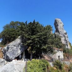
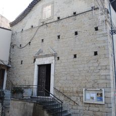
The settlement began in the eighth century when Lombard monks built a church and monastery in this location. This religious foundation became the core around which the village gradually developed over the following centuries.
The hospitality school, established in 1939, continues a strong local tradition of cooking education that shapes daily life here. The institution reflects how this community has built its identity around culinary skills and food preparation.
The village is accessible via the Val di Sangro exit on the A14 motorway, then followed by regional roads from either Chieti or Lanciano. Spring and early autumn offer the most pleasant conditions for walking through the hillside paths and exploring the town.
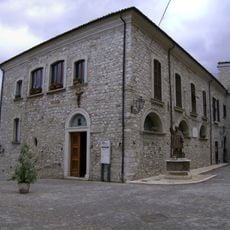
The town is home to Italy's first museum entirely dedicated to the history of chefs, featuring photographs and documents from the local culinary school. This unusual museum reflects how deeply this small mountain village is connected to Italian gastronomy.
Location: Province of Chieti
Capital city: Villa Santa Maria
Elevation above the sea: 390 m
Shares border with: Atessa, Borrello, Colledimezzo, Fallo, Montebello sul Sangro, Monteferrante, Montelapiano, Pennadomo, Roio del Sangro, Bomba, Pietraferrazzana, Rosello
Website: http://villasantamaria.eu
GPS coordinates: 41.95000,14.35000
Latest update: December 7, 2025 20:23
Riserva naturale guidata Cascate del Verde
4.3 km
Castello Franceschelli
6.6 km
Chiesa di San Nicola di Bari (Villa Santa Maria)
115 m
Casa Caracciolo
48 m
Santuario di San Mauro Abate
9.6 km
Caldora Castle
4.1 km
Santa Maria del Sambuco
8.7 km
Chiesa della Madonna in Basilica
586 m
Santa Maria del Popolo
9.5 km
Chiesa di San Giovanni Apostolo ed Evangelista
4.7 km
Madonna del Rosario
290 m
Santa Vittoria
2.9 km
Sant'Egidio
4.9 km
Sant'Antonio
5.1 km
Santa Maria delle Grazie
242 m
Palazzo Castracane
204 m
Monumento a san Francesco Caracciolo
38 m
San Giovanni Decollato, Pistoia
3.2 km
Palazzo baronale
5.1 km
Museo civico memorie della vita contadina
5.1 km
Sant'Antonio abate
9.4 km
Sant'Antonio abate
343 m
Sant'Antonio da Padova
6.4 km
San Silvestro
6.6 km
Gole di Pennadomo
6.8 km
Cima Fumosa
6.6 km
Sant'Antonio
6.6 km
Torrente San Leo
6.8 kmVisited this place? Tap the stars to rate it and share your experience / photos with the community! Try now! You can cancel it anytime.
Discover hidden gems everywhere you go!
From secret cafés to breathtaking viewpoints, skip the crowded tourist spots and find places that match your style. Our app makes it easy with voice search, smart filtering, route optimization, and insider tips from travelers worldwide. Download now for the complete mobile experience.
A unique approach to discovering new places❞
— Le Figaro
All the places worth exploring❞
— France Info
A tailor-made excursion in just a few clicks❞
— 20 Minutes