
Corna Imagna, Italian comune
Location: Province of Bergamo
Capital city: Corna Imagna
Elevation above the sea: 736 m
Shares border with: Blello, Rota d'Imagna, Fuipiano Valle Imagna, Val Brembilla, Locatello, Sant'Omobono Terme
Website: http://comune.cornaimagna.bg.it
GPS coordinates: 45.83333,9.55000
Latest update: March 6, 2025 12:23
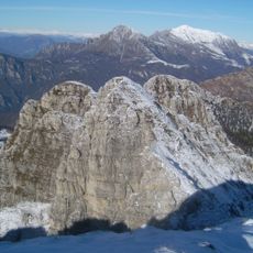
Monte Resegone
6.9 km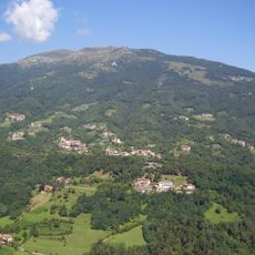
Monte Linzone
6.5 km
Monte Tesoro
5.8 km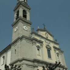
Sant'Antonio Abate
2.6 km
San Giacomo Maggiore
4.7 km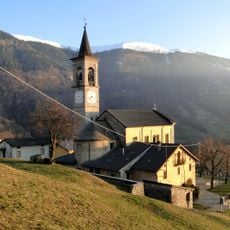
San Bartolomeo church
4.5 km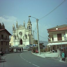
San Lorenzo
5.2 km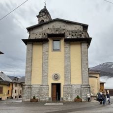
Chiesa di Sant'Antonio Abate
6.5 km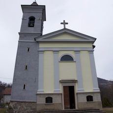
San Bartolomeo
6.6 km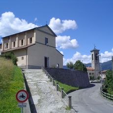
San Michele
4.4 km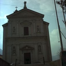
San Bernardino Church
3.3 km
San Pietro e Paolo
6 km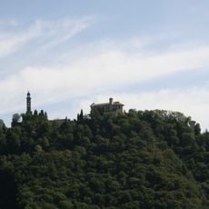
San Siro Vescovo Church
3.1 km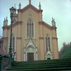
San Giovanni Battista Church
4.1 km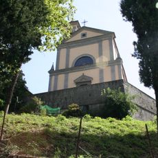
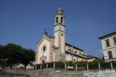
Santa Maria Assunta
1.3 km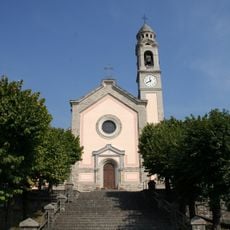
Santi Simone e Giuda Church
534 m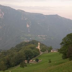
Chiesa della Santissima Annunziata
1.4 km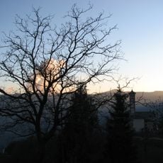
Chiesa di San Giovanni Battista
2.6 km
San Marco Church
4.2 km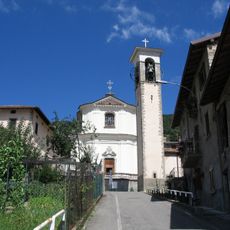
Santa Croce Church
2.5 km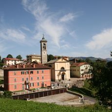
Visitazione di Maria Vergine
5 km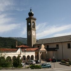
Chiesa del Santissimo Crocifisso
4.2 km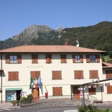
Town hall of Rota d'Imagna
3 km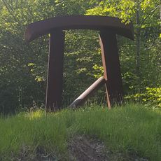
Museo di arte Contemporanea all'aperto di Morterone
6.9 km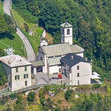
Beata Vergine Assunta Church
7.1 km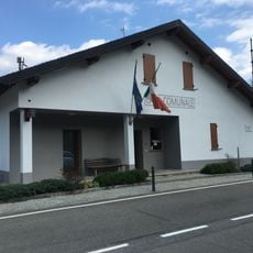
Town hall of Brumano
4.4 km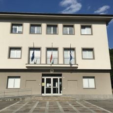
Town hall of Sant'Omobono Terme
2.7 km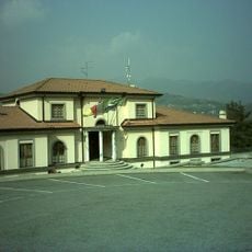
Town hall of Bedulita
4.7 kmReviews
Visited this place? Tap the stars to rate it and share your experience / photos with the community! Try now! You can cancel it anytime.
Discover hidden gems everywhere you go!
From secret cafés to breathtaking viewpoints, skip the crowded tourist spots and find places that match your style. Our app makes it easy with voice search, smart filtering, route optimization, and insider tips from travelers worldwide. Download now for the complete mobile experience.

A unique approach to discovering new places❞
— Le Figaro
All the places worth exploring❞
— France Info
A tailor-made excursion in just a few clicks❞
— 20 Minutes