
Osio Sopra, Italian comune
Location: Province of Bergamo
Capital city: Osio Sopra
Elevation above the sea: 192 m
Shares border with: Osio Sotto, Filago, Dalmine, Levate
Website: http://comune.osiosopra.bg.it
GPS coordinates: 45.63333,9.58333
Latest update: March 29, 2025 16:51

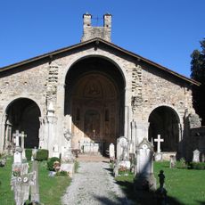
Basilica di Santa Giulia
3.3 km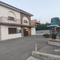
Permanent Nativity Museum of Dalmine
2.2 km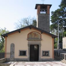
San Vittore Church
3.6 km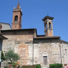
San Bartolomeo Church
2.3 km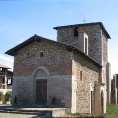
Santi Fermo e Rustico Church
3.6 km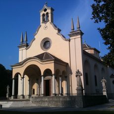
San Giuseppe Church
2 km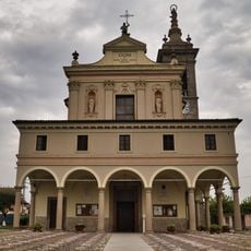
Natività di Maria Vergine Church
3.4 km
San Zenone
2 km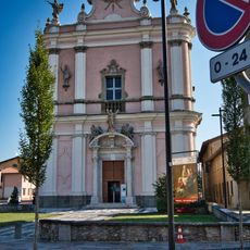
Chiesa di Sant'Andrea
2.8 km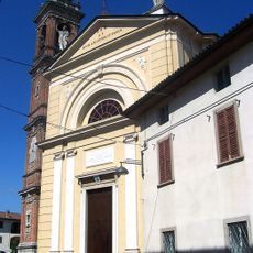
Santi Pietro e Paolo
3.4 km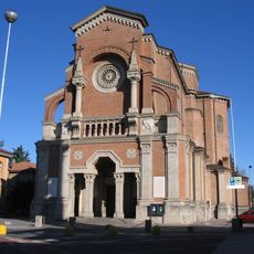
San Giovanni Battista
3.3 km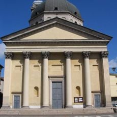
San Giorgio
3.8 km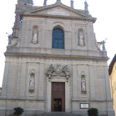
Chiesa di San Zenone
774 m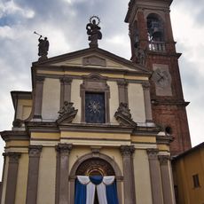
San Lorenzo Church
745 m
Sant’Ambrogio Church
4.2 km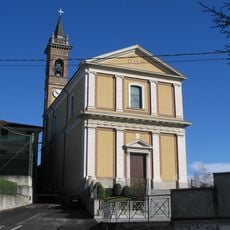
Chiesa di Santa Maria Assunta
2.2 km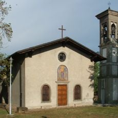
San Pantaleone
2.4 km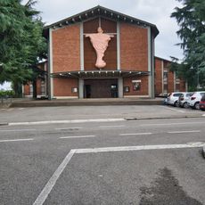
San Michele e Santissimo Redentore
2.7 km
Brembo rest area
1.2 km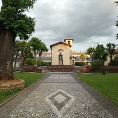
Chiesa di San Giorgio
2 km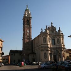
Chiesa di San Zenone
2 km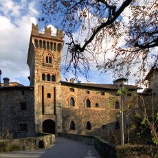
Marne Castle
2.4 km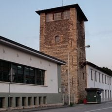
Torre Camozzi
1.9 km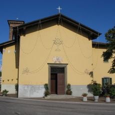
Madonna della Scopa
1.7 km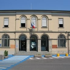
Town hall of Osio Sopra
739 m
Town hall of Madone
3.4 km
Town hall of Osio Sotto
2 km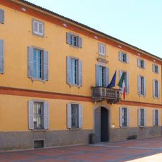
Town hall of Levate
3.3 kmVisited this place? Tap the stars to rate it and share your experience / photos with the community! Try now! You can cancel it anytime.
Discover hidden gems everywhere you go!
From secret cafés to breathtaking viewpoints, skip the crowded tourist spots and find places that match your style. Our app makes it easy with voice search, smart filtering, route optimization, and insider tips from travelers worldwide. Download now for the complete mobile experience.

A unique approach to discovering new places❞
— Le Figaro
All the places worth exploring❞
— France Info
A tailor-made excursion in just a few clicks❞
— 20 Minutes