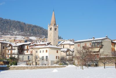
Brentonico, Mountain commune in Trentino, Italy
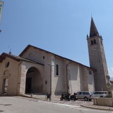
Brentonico is a mountain commune in Trentino that spreads across a high plateau ranging from 1,640 to 6,560 feet (500 to 2,000 meters) in elevation. Located between Lake Garda and Vallagarina, the territory is divided into eleven distinct settlements scattered across these elevation zones.
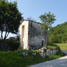
The area has served as a center for scientific research since the 16th century due to its collection of preglacial plant fossils found nowhere else. This paleobotanical importance drew naturalists and scholars from across Europe to study the region's geological heritage.
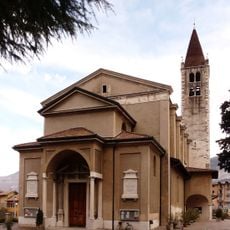
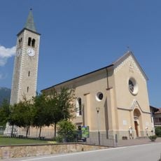
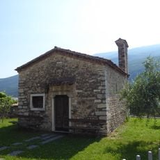
The name Brentonico comes from a Latin root meaning "Brentus," and the municipality preserves strong ties across its eleven settlements that function as a connected community. This scattered structure shapes daily life today and creates a distinct identity between the different elevation zones.
In winter, visitors can access multiple ski facilities in the Polsa-San Valentino-San Giacomo area with slopes suited for all skill levels. These facilities are well-connected through the existing road network across the different elevation zones.
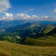
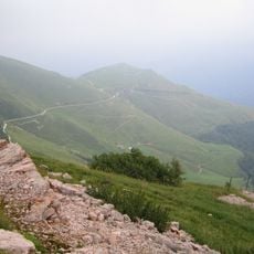
From the highest points in the area, visitors can see three distinct landscapes at the same time on clear days: Lake Garda, the Po Valley, and the Dolomites stretching across the entire Alpine range. This viewpoint offers an unusual perspective on northern Italy's varied terrain from a single location.
The community of curious travelers
AroundUs brings together thousands of curated places, local tips, and hidden gems, enriched daily by 60,000 contributors worldwide.