
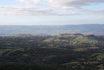
Erula, Italian comune
Location: Province of Sassari
Inception: 1988
Capital city: Erula
Elevation above the sea: 457 m
Shares border with: Ozieri, Tempio Pausania, Tula, Chiaramonti, Perfugas
Website: http://comunedierula.it
GPS coordinates: 40.79224,8.94382
Latest update: March 4, 2025 05:34
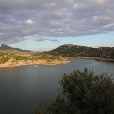
Lake Coghinas
11.7 km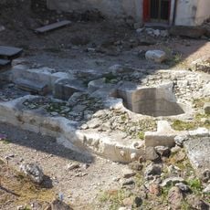
Pozzo sacro di Predio Canopoli
6.3 km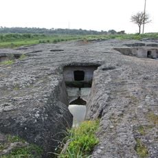
Necropolis of Su Murrone
5.9 km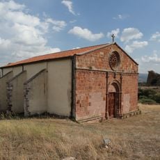
Chiesa di San Giorgio
8.1 km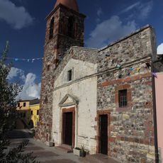
Chiesa di Santa Maria degli Angeli
6.4 km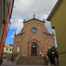
Chiesa di Sant'Elena Imperatrice
7.2 km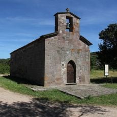
Santa Vittoria de su Sassu
3.3 km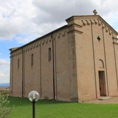
Chiesa di Nostra Signora di Coros
7.7 km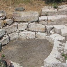
Fonte nuragica di Niedda
4.3 km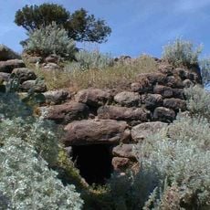
Nuraghe Ispiene
2.7 km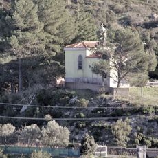
San Pietro di Sa Sia
4.1 km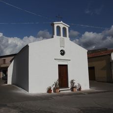
Chiesa di San Giovanni Battista (Perfugas)
6.6 km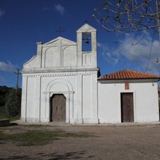
San Giuseppe di Oloitti
3.8 km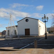
Cuore Immacolato di Maria
156 m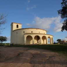
Chiesa di San Giovanni Battista
2.3 km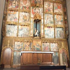
MAP di Perfugas
6.7 km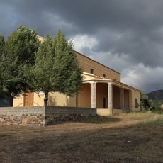
Chiesa dello Spirito Santo
8.2 km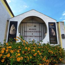
MAP - Museo Archeologico e Paleobotanico di Perfugas
6.7 km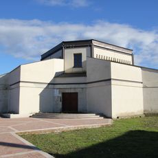
Chiesa nuova del Cuore Immacolato di Maria
114 m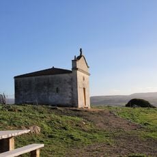
Sant'Antonio
9.1 km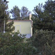
Chiesa di San Pietro di Sa Sia
4.1 km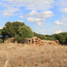
Nuraghe Pigalva
9.9 km
Casa cantoniera di Perfugas
6.6 km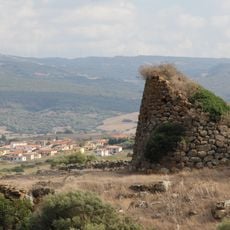
Nuraghe San Giorgio
8 km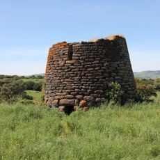
Nuraghe Ruiu
9.3 km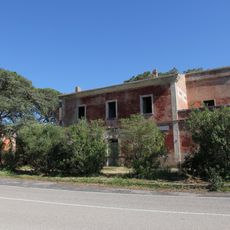
Casa cantoniera di Coghinas
7.9 km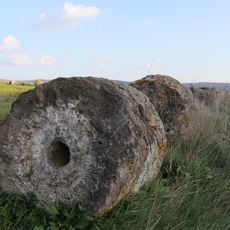
Foresta fossile
5.7 km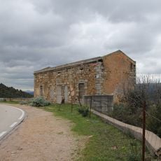
Casa cantoniera di Turrina
9.5 kmReviews
Visited this place? Tap the stars to rate it and share your experience / photos with the community! Try now! You can cancel it anytime.
Discover hidden gems everywhere you go!
From secret cafés to breathtaking viewpoints, skip the crowded tourist spots and find places that match your style. Our app makes it easy with voice search, smart filtering, route optimization, and insider tips from travelers worldwide. Download now for the complete mobile experience.

A unique approach to discovering new places❞
— Le Figaro
All the places worth exploring❞
— France Info
A tailor-made excursion in just a few clicks❞
— 20 Minutes