
Rifugio Roccoli Lorla, mountain hut on Lake Como
Location: Valvarrone
Inception: 1820
GPS coordinates: 46.09582,9.36417
Latest update: March 5, 2025 14:47

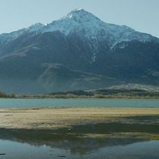
Monte Legnone
3.9 km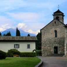
Piona Abbey
4 km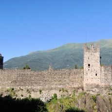
Castle of Corenno Plinio
4.1 km
Museum of Peasant Culture of Colico
4.1 km
Sant'Agata
2.2 km
San Giorgio in Dorio
3.5 km
San Martino
2.8 km
Sant'Antonio Abate
2.3 km
Fontanedo Tower
3.9 km
San Bernardino church
3.6 km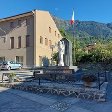
War memorial
3.6 km
San Sfirio
691 m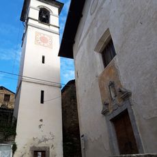
San Bernardino
2.7 km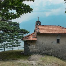
San Rocco
3.4 km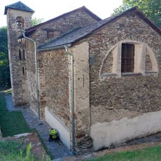
Santa Croce church
4 km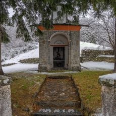
Santuario della Madonna di Consolino
2.2 km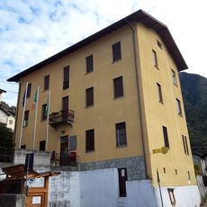
Municipio
2.7 km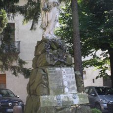
Monument to the Fallen
4.1 km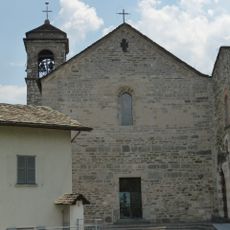
Chiesa di San Nicolò a Piona
4 km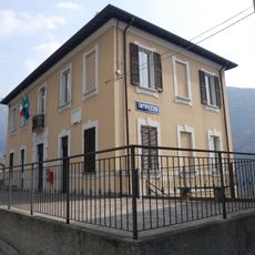
Introzzo Town Hall
2.5 km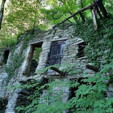
Mulino di Craggio
2.3 km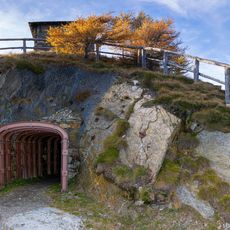
Trincee di Legnoncino
124 m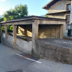
Wash house of Villatico
3.6 km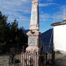
Monumento ai caduti
2.8 km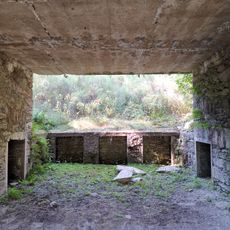
Cannoniere di Artesso
1.6 km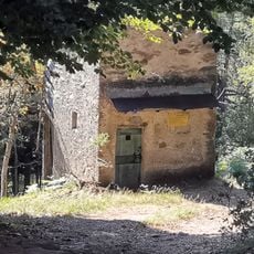
Roccoli di Artesso
1.6 km
Il Fienile
2.1 km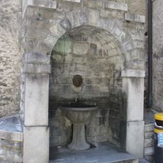
Public drinking fountain
4.1 kmReviews
Visited this place? Tap the stars to rate it and share your experience / photos with the community! Try now! You can cancel it anytime.
Discover hidden gems everywhere you go!
From secret cafés to breathtaking viewpoints, skip the crowded tourist spots and find places that match your style. Our app makes it easy with voice search, smart filtering, route optimization, and insider tips from travelers worldwide. Download now for the complete mobile experience.

A unique approach to discovering new places❞
— Le Figaro
All the places worth exploring❞
— France Info
A tailor-made excursion in just a few clicks❞
— 20 Minutes