
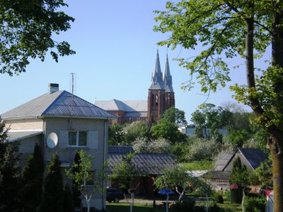
Josvainiai, town in Lithuania
Location: Kėdainiai District Municipality
Inception: March 29, 1792
Elevation above the sea: 51 m
GPS coordinates: 55.24722,23.83333
Latest update: March 23, 2025 16:57
Evangelical Reformed Church in Kėdainiai
10.3 km
Angiriai Reservoir
9.4 km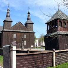
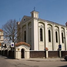
Church of St. Joseph, Kėdainiai
10.2 km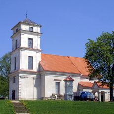
Evangelical Lutheran Church in Kėdainiai
9.7 km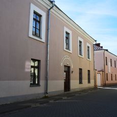
Kedainiai Regional Museum
10.2 km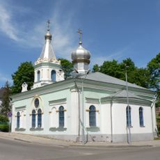
Holy Transfiguration Church
10.1 km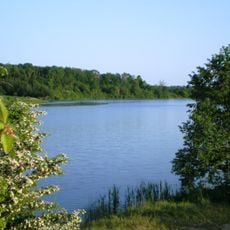
Labūnava Reservoir
9.2 km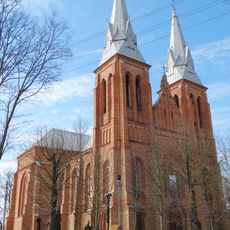
Church of All Saints, Josvainiai
187 m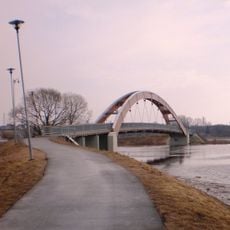
Rainbow Bridge
9.5 km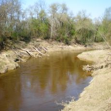
Šušvė landscape reserve
6.4 km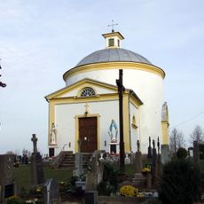
Church of the Providence of God in Labūnava
7.2 km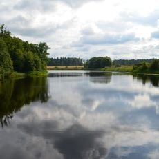
Keleriškių tvenkinys
5.8 km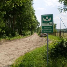
Smilga Landscape Reserve
8.4 km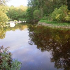
Šušvės geomorfologinis draustinis
2.8 km
Vikūnų piliakalnis
10.2 km
Grinių ąžuolas
8.5 km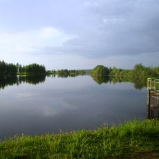
Urnėžių tvenkinys
9.7 km
Nevėžis double trunk oak
7.5 km
Obelis Landscape Reserve
9.2 km
Smilga and Smilgaitis Landscape Reserve
7.9 km
Pavikšrupis Botanizal-Zoological Reserve
3.3 km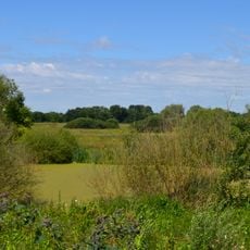
Pelednagiai Botanical Reserve
7.4 km
Ruseinių kapinynas
10.1 km
Jewish cemeteries in Kėdainiai
9.6 km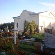
Kėdainiai Cemetery Chapel
10.2 km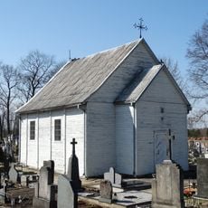
Josvainiai Chapel
860 m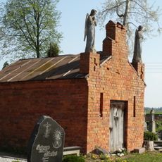
Josvainiai tomb chapel
845 m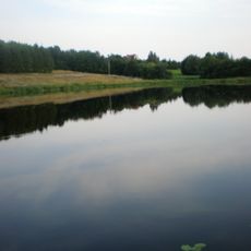
Labūnavos gyvenvietės tvenkinys
7.6 kmReviews
Visited this place? Tap the stars to rate it and share your experience / photos with the community! Try now! You can cancel it anytime.
Discover hidden gems everywhere you go!
From secret cafés to breathtaking viewpoints, skip the crowded tourist spots and find places that match your style. Our app makes it easy with voice search, smart filtering, route optimization, and insider tips from travelers worldwide. Download now for the complete mobile experience.

A unique approach to discovering new places❞
— Le Figaro
All the places worth exploring❞
— France Info
A tailor-made excursion in just a few clicks❞
— 20 Minutes