Geography of Lithuania, Northern European territory at the eastern shore of Baltic Sea, Lithuania.
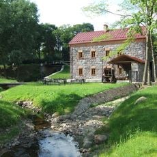
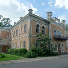
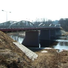
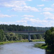
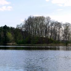
Lithuania is a Northern European territory on the eastern shore of the Baltic Sea, featuring more than 2,800 lakes and over 750 rivers, with the Nemunas flowing through major settlements. The landscape covers 65,300 sq km (25,200 sq mi) and is connected by railways, highways, and regional airports.
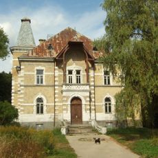
The territory gained its current borders in the period after World War I, bordering Latvia, Belarus, Poland, and Russia's Kaliningrad region today. These boundaries resulted from major political changes that reshaped the region.
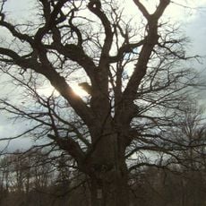
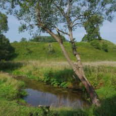
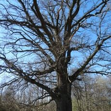
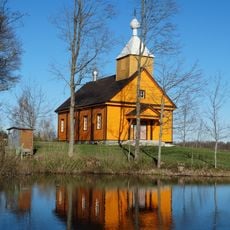
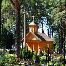
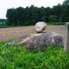
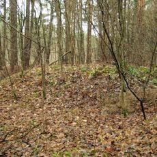
Local people maintain deep ties to the forests through mushroom and berry gathering, practices that shape everyday life and traditions. These activities remain central to how communities interact with their natural surroundings.
The country is well connected by public transportation networks, making it easy for visitors to explore regions by train and car. Planning your route based on your destination and the season helps you make the most of the infrastructure.
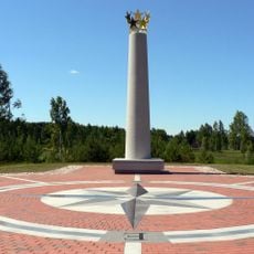
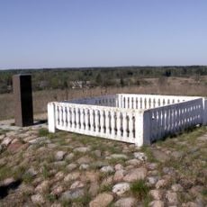
The geographic center of Europe is located roughly 20 kilometers north of Vilnius, according to calculations accepted by geographic institutions. This location surprises many visitors, as Europe's size makes them expect the center to be elsewhere.
The community of curious travelers
AroundUs brings together thousands of curated places, local tips, and hidden gems, enriched daily by 60,000 contributors worldwide.