
Čiobiškis, human settlement in Lithuania
Location: Širvintos District Municipality
GPS coordinates: 54.95300,24.65300
Latest update: April 2, 2025 00:26
Klasztor Poporcie
7.5 km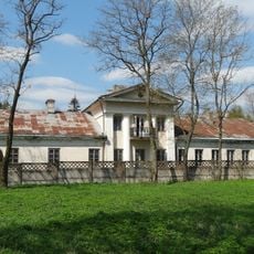
Čiobiškis Manor
193 m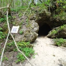
Čiobiškis cave
1.5 km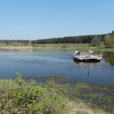
Čiobiškis river ferry
1.5 km
Church of St. George, Žasliai
10.9 km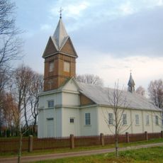
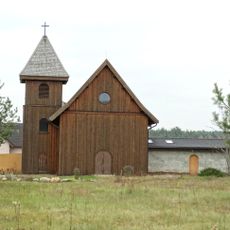
Church of Saints Stanislaus the Bishop and Francis of Assisi, Paparčiai
6.4 km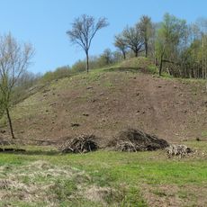
Budeliai hillfort
3.2 km
Liukonys manor
8 km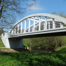
Čiobiškis bridge
480 m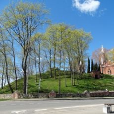
Žasliai Hillfort
10.9 km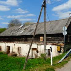
Čiobiškis watermill
436 m
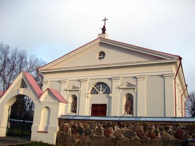
Church of St. John the Baptist, Čiobiškis
214 m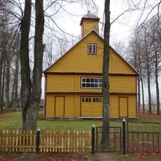
Church of St. Anthony of Padua, Krivonys
5.8 km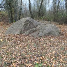
Laukagalio akmuo
5.4 km
Sabališkių dvaras
9.8 km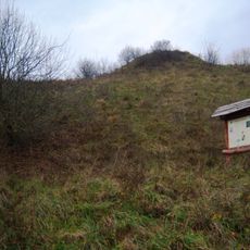
Paparčiai hillfort
7.6 km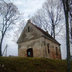
Paparčiai Dominican chapel
6.4 km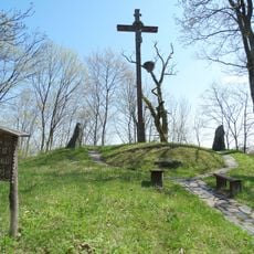
Liukonių akmenys
8.4 km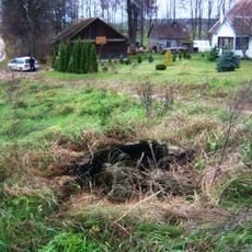
Lesotos klevas
10.7 km
Upninkai linden
9 km
Raudonkos piliakalnis
10.3 km
Mančiūnų piliakalnis
8 km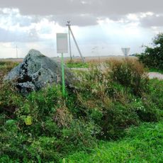
Totoriškės stone
5.2 km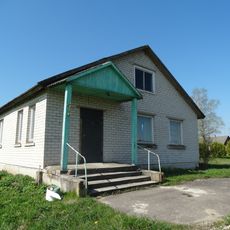
Mikalaučiškės chapel
4.1 km
Rusių Rago pilkapynas
735 m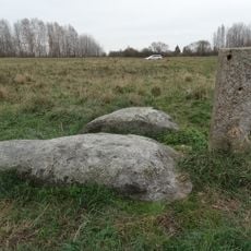
Laukagalio akmuo su žmogaus pėda
6.6 km
Dailidžių-Ardiškio pilkapynai
9.9 km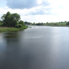
Paukščių tvenkinys
5.1 kmReviews
Visited this place? Tap the stars to rate it and share your experience / photos with the community! Try now! You can cancel it anytime.
Discover hidden gems everywhere you go!
From secret cafés to breathtaking viewpoints, skip the crowded tourist spots and find places that match your style. Our app makes it easy with voice search, smart filtering, route optimization, and insider tips from travelers worldwide. Download now for the complete mobile experience.

A unique approach to discovering new places❞
— Le Figaro
All the places worth exploring❞
— France Info
A tailor-made excursion in just a few clicks❞
— 20 Minutes