
Staneliai, village in Lithuania
Location: Paukštakiai eldership
GPS coordinates: 55.95000,21.95000
Latest update: March 18, 2025 12:11

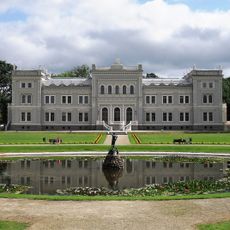
Plungė Manor
7.4 km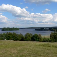
Žemaitija National Park
11.1 km
Church of St. John the Baptist, Plungė
8 km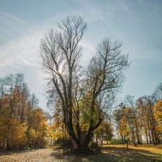
Raganos uosis
12.9 km
Perkūnas Oak
7.5 km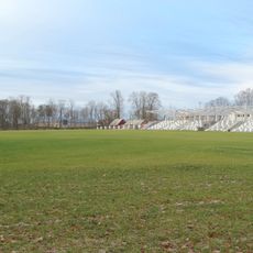
Plungė Central Stadium
7.1 km
Plungė District Municipal Public Library
7.5 km
Church of the Immaculate Conception, Alsėdžiai
10.8 km
Church of St. Stanislaus the Bishop, Beržoras
12 km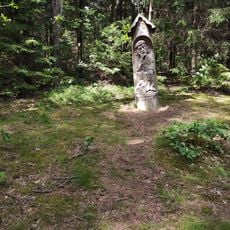
Paplatelė Educational Trail
11.4 km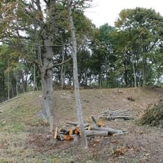
Plungės piliakalnis
8.4 km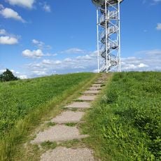
Siberijos Watchtower
12.3 km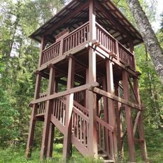
Paplatelė Trail Watchtower
11.2 km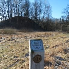
Nausodžio piliakalnis
12.7 km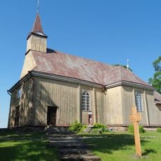
Church of the Immaculate Conception, Kantaučiai
8.2 km
Varkaliai hillfort
12.8 km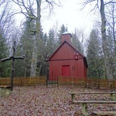
Sorai chapel
12.9 km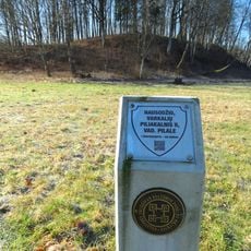
Nausodis II hillfort
12.5 km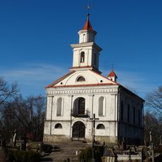
Plungė cemetery chapel
8.4 km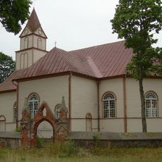
Church of St. George, Lieplaukė
9.8 km
Stanelių piliakalnis
443 m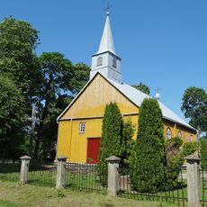
Church of the Blessed Virgin Mary, Help of Christians, Žlibinai
8.1 km
Gelindėnų piliakalnis
3.7 km
Žernių piliakalnis
13 km
Plungės akmuo su Karvės pėda
8.7 km
Nugariai hillfort
3.4 km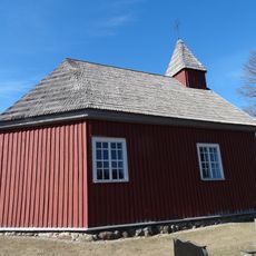
Alsėdžiai cemetery chapel
10.2 km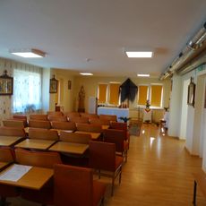
Staneliai chapel
273 mReviews
Visited this place? Tap the stars to rate it and share your experience / photos with the community! Try now! You can cancel it anytime.
Discover hidden gems everywhere you go!
From secret cafés to breathtaking viewpoints, skip the crowded tourist spots and find places that match your style. Our app makes it easy with voice search, smart filtering, route optimization, and insider tips from travelers worldwide. Download now for the complete mobile experience.

A unique approach to discovering new places❞
— Le Figaro
All the places worth exploring❞
— France Info
A tailor-made excursion in just a few clicks❞
— 20 Minutes