
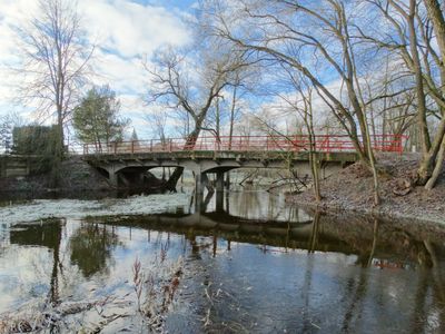
Rodų tiltas, bridge in Lithuania
Location: Panevėžys District Municipality
GPS coordinates: 55.57336,24.15080
Latest update: September 25, 2025 07:41
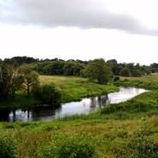
Krekenava Regional Park
9.7 km
Upytė hillfort
10.3 km
Church of the Assumption, Krekenava
4.5 km
Church of St. John the Baptist, Ramygala
11.9 km
Church of St. Matthew, Naujamiestis
12.6 km
Akmuo Rapolas
5.3 km
Rodų koplyčia
416 m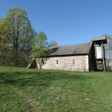
Rodai II manor
198 m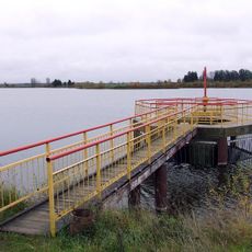
Stepononių tvenkinys
5.4 km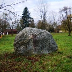
Akmuo Velnio pėda
7.3 km
Daniliškio liepų alėja
11.3 km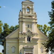
Church of St. Agatha, Vadaktai
11.8 km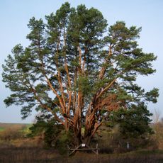
Kalnelio daugiakamienė pušis
10.6 km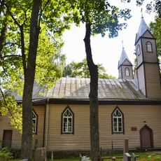
Church of St. John of Nepomuk, Vadaktėliai
6.7 km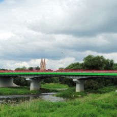
Krekenava bridge
4.8 km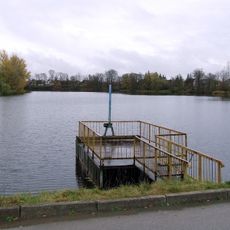
Ėriškių tvenkinys
6.6 km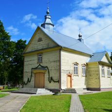
Church of St. Charles Borromeo, Upytė
10 km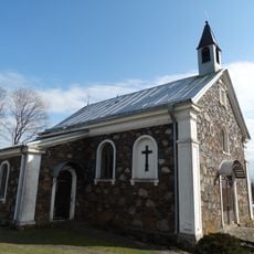
Chapel in Barklainiai
11.8 km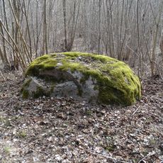
Užkalniai boulder
10 km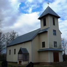
Ėriškių Švč. Jėzaus Vardo bažnyčia
7.1 km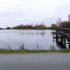
Krekenavos tvenkinys
4.3 km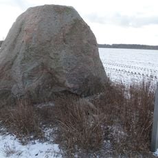
Naujamiestis boulder
11.4 km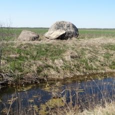
Užkalnių akmuo
11.4 km
Old Believers Church in Pempės
10.4 km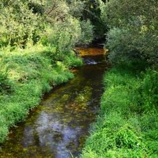
Linkava Hydrographical Reserve
6.2 km
Švenčiuliškių pušis
4.7 km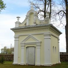
Vadaktai tomb chapel
11.8 km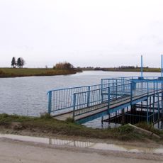
Žibartonių I tvenkinys
12.7 kmReviews
Visited this place? Tap the stars to rate it and share your experience / photos with the community! Try now! You can cancel it anytime.
Discover hidden gems everywhere you go!
From secret cafés to breathtaking viewpoints, skip the crowded tourist spots and find places that match your style. Our app makes it easy with voice search, smart filtering, route optimization, and insider tips from travelers worldwide. Download now for the complete mobile experience.

A unique approach to discovering new places❞
— Le Figaro
All the places worth exploring❞
— France Info
A tailor-made excursion in just a few clicks❞
— 20 Minutes