
Robežnieki, قرية في لاتفيا
Location: Robežnieki Parish
Elevation above the sea: 170 m
GPS coordinates: 55.97389,27.60278
Latest update: May 10, 2025 17:46
Sarja Church
18.5 km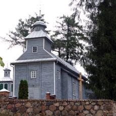
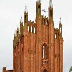
Indrica Roman Catholic church
22.3 km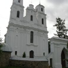
Church of the Assumption of the Virgin Mary in Piedruja
22.1 km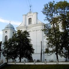
Dagdas Vissvētās Trīsvienības Romas katoļu baznīca
13.9 km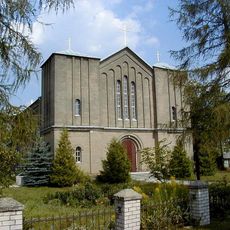
Balbinovas Vissvētās Trīsvienības Romas katoļu baznīca
10.5 km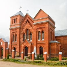
Church of the Holy Trinity in Rosica
11.4 km
Indrica vasallilinnus
22.2 km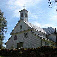
Skaista Saint Anthony Roman Catholic church
14.3 km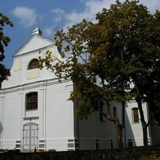
Roman Catholic church in Asūne
6.1 km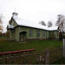
Beresnes Svētās Annas Romas katoļu baznīca
20.5 km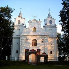
Auleja Mary Magdalene Roman Catholic Church
21.9 km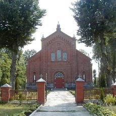
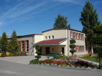
Robežnieki Roman Catholic church
232 m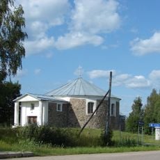
Michael the Archangel chapel in Balta
18.8 km
Reiņu pilskalns (Perečkas kalns)
3.4 km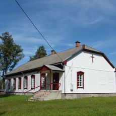
Church of Saint Agatha in Ludviki
12.3 km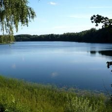
Drīdzis Lake Nature Park
19.6 km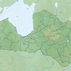
Reiņu pilskalns
3.9 km
Klabauču pilskalns (Čornaja gora)
5 km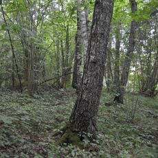
Fridrihovas pilskalns
19.3 km
Peļņiku Stāvais kalns (Krutaja gora) - pilskalns
13 km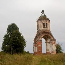
Church of St. Euphrosyne of Polack in Rosica
12.3 km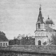
Царква Дабравешчання Прасвятой Багародзіцы, Друя
22.3 km
Mīsnīku pilskalns
13.8 km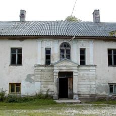
Jaundome Manor
19.4 km
Gorodiščes pilskalns ar apmetni
9.5 km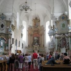
Altāra gleznojums
22.1 km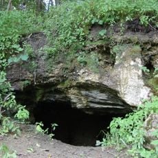
Dagdas ala
15.3 km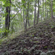
Ostrovnas pilskalns
16.6 kmReviews
Visited this place? Tap the stars to rate it and share your experience / photos with the community! Try now! You can cancel it anytime.
Discover hidden gems everywhere you go!
From secret cafés to breathtaking viewpoints, skip the crowded tourist spots and find places that match your style. Our app makes it easy with voice search, smart filtering, route optimization, and insider tips from travelers worldwide. Download now for the complete mobile experience.

A unique approach to discovering new places❞
— Le Figaro
All the places worth exploring❞
— France Info
A tailor-made excursion in just a few clicks❞
— 20 Minutes