
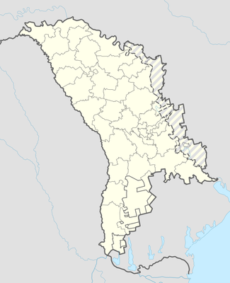
Zahoreni, village in Orhei District, Moldova
Location: Orhei District
Elevation above the sea: 133 m
GPS coordinates: 47.57583,28.72750
Latest update: March 9, 2025 18:35
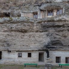
Țipova Monastery
19.6 km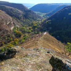
Țipova landscape reserve
18.4 km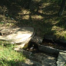
Spring of Cucuruzeni
10.6 km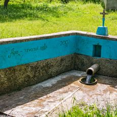
Spring of Izvoare
17.8 km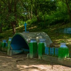
Springs of Horodiște
16.8 km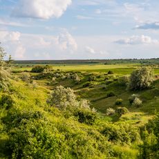
Răspopeni outcrop
15.4 km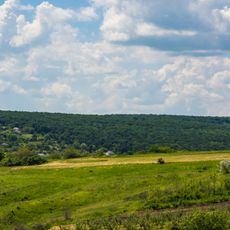
Pohrebeni landscape reserve
12.1 km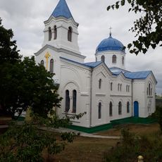
Church of the Ascension of Christ in Horodiște, Rezina
16.8 km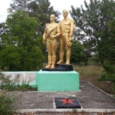
World War II memorial in Horodiște, Rezina
16.9 km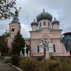
Biserica „Sf. Gheorghe”
17.2 km
All Saints church in Pohrebeni, Orhei
13.2 km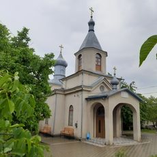
Biserica „Buna Vestire”
9.9 km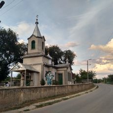
Saint Nicholas church in Biești, Orhei
13 km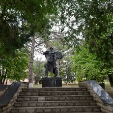
Monument la mormântul comun al ostașilor căzuți (34)
13.1 km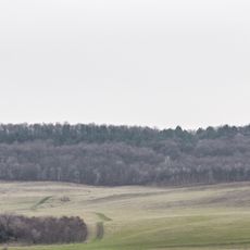
Poa pratensis field
19.5 km
Biserica „Sf. Apostol Gavriil”
17.1 km
Biserica „Sf. Arhanghel Mihail”
14.3 km
Saint Nicholas church in Ciocîlteni, Orhei
13 km
Saint Michael church in Scorțeni, Telenești
9.4 km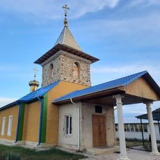
Church of the Assumption in Țînțăreni, Telenești
12.4 km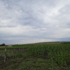
Tumuli - 4 - Zahareuca
10.7 km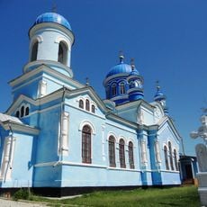
Church of the Intercession in Cinișeuți, Rezina
16.8 km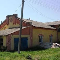
Mill of Cinișeuți
17.3 km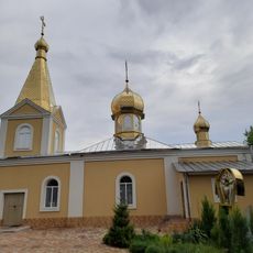
Biserica „Sf. Ioan”
13.2 km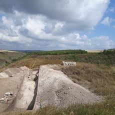
"La Șanț" fort of Horodiște
18.1 km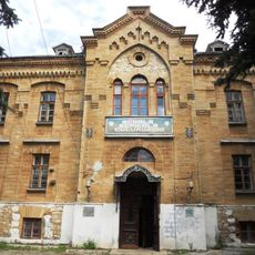
Agricultural school in Cucuruzenii de Sus
4.1 km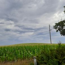
Tumuli - 8 - Negureni
14.2 km
Tumuli - 8 - Mălăești
12.2 kmReviews
Visited this place? Tap the stars to rate it and share your experience / photos with the community! Try now! You can cancel it anytime.
Discover hidden gems everywhere you go!
From secret cafés to breathtaking viewpoints, skip the crowded tourist spots and find places that match your style. Our app makes it easy with voice search, smart filtering, route optimization, and insider tips from travelers worldwide. Download now for the complete mobile experience.

A unique approach to discovering new places❞
— Le Figaro
All the places worth exploring❞
— France Info
A tailor-made excursion in just a few clicks❞
— 20 Minutes