
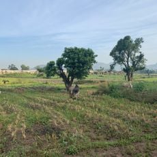
Kwali, local government area in the Federal Capital Territory in Nigeria
Location: Federal Capital Territory
Elevation above the sea: 197 m
GPS coordinates: 8.83972,7.05417
Latest update: March 4, 2025 17:12
Zuma Rock
38 km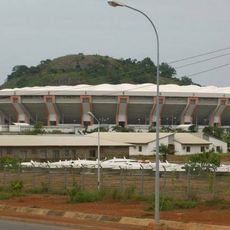
The Glory Dome
34.8 km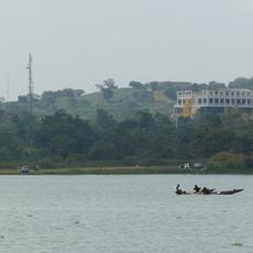
Jabi Lake
47.9 km
École Française Marcel Pagnol
46.7 km
Abuja Securities and Commodities Exchange
52.6 km
Ready Spaces
50.5 km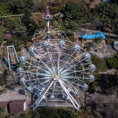
Magic Land Abuja
49.3 km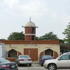
Garki International Mosque
52.4 km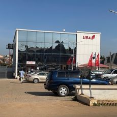
UBA Lugbe branch
38.7 km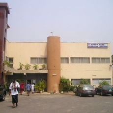
Kingscare hospital limited
52.6 km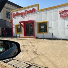
Bellany Food Lugbe
38.9 km
Crush Cafe
49.6 km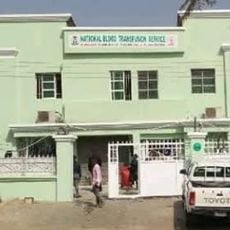
National Blood Transfusion Service
52 km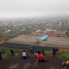
Katampe hills
52.8 km
The City Library, Abuja
52.5 km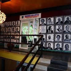
Box office hub
51.4 km
Thomas David Hospital
39.1 km
StartPreneurs
48.6 km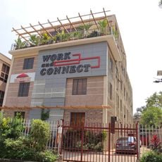
Work and Connect
48.6 km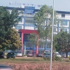
Lanre shittu motors Abuja
51.1 km
Redwood Place
52.7 km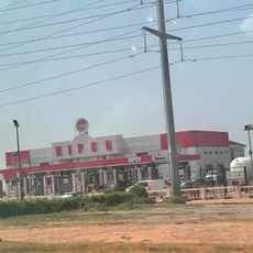
NIPCO Gas Station, Umaru Musa Yar'Adua Road
47.9 km
PREFERRED HOSPITAL
45.2 km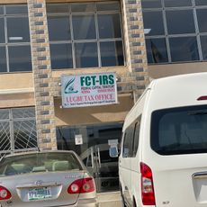
FCT-IRS Lugbe Tax Office
38.9 km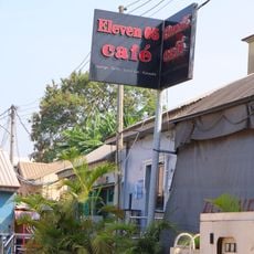
Eleven 05 Cafe
49.8 km
Brains & Hammers City Life Camp
42.6 km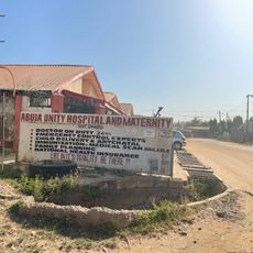
Abuja Unity HOSPITAL and Maternity
38.1 km
Harmony Innovation Hub
48.7 kmReviews
Visited this place? Tap the stars to rate it and share your experience / photos with the community! Try now! You can cancel it anytime.
Discover hidden gems everywhere you go!
From secret cafés to breathtaking viewpoints, skip the crowded tourist spots and find places that match your style. Our app makes it easy with voice search, smart filtering, route optimization, and insider tips from travelers worldwide. Download now for the complete mobile experience.

A unique approach to discovering new places❞
— Le Figaro
All the places worth exploring❞
— France Info
A tailor-made excursion in just a few clicks❞
— 20 Minutes