Lutkemeer, Agricultural polder in Oud Osdorp, Netherlands.
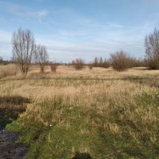
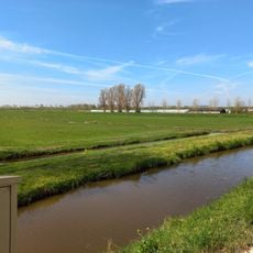
Lutkemeer is an agricultural polder near Amsterdam that spans roughly 200 hectares at about 5.70 meters below sea level. It features fertile clay soil and sits between the Haarlemmermeer ring canal and the Osdorperweg road.
The area was originally a small lake connected to Spieringmeer before being drained between 1864 and 1865 following its purchase by the Rutgers van Rozenburg family.
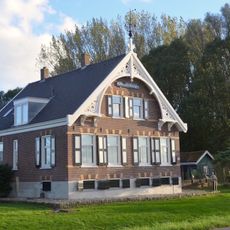
Six farmhouses line the Lutkemeerweg following the land reclamation, and three of them are now protected as municipal monuments, shaping the character of the area.
The polder is primarily agricultural and is best explored by bicycle or on foot. The flat terrain allows for easy walking paths and open views across the landscape.
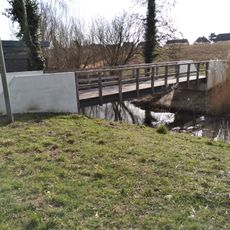
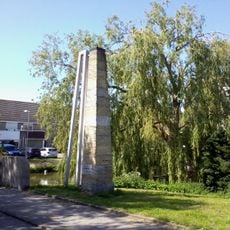
The Wijsentkade, an ancient land boundary from before the 13th century, forms the northern, eastern, and southern borders of this low-lying polder. This old marker reveals how ancient the landscape's structure truly is.
The community of curious travelers
AroundUs brings together thousands of curated places, local tips, and hidden gems, enriched daily by 60,000 contributors worldwide.