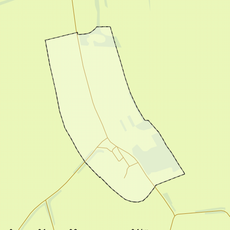
Colmont, Rural hamlet in Voerendaal, Netherlands.
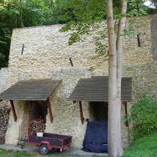
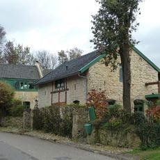
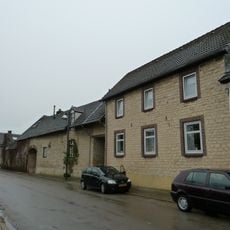
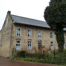
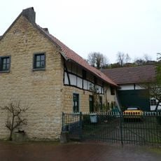
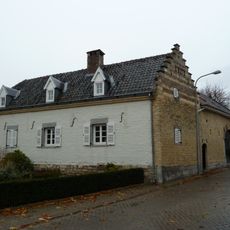
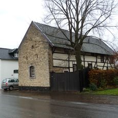
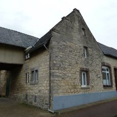
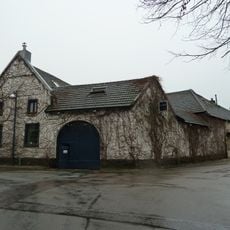
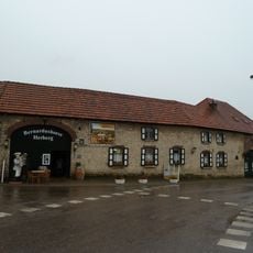
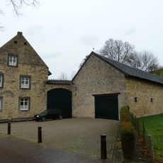
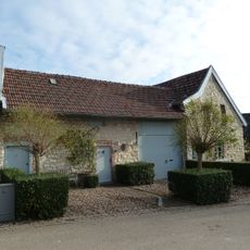
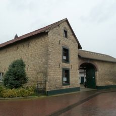
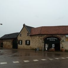
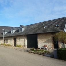
Colmont is a rural hamlet on the Ubachsberg plateau with residential houses and farms built from local Kunradersteen limestone that create a traditional Dutch countryside look. The settlement spreads across roughly 32 houses home to about 85 residents in this quiet rural area.
The name Colmont comes from the Latin 'calvum montem', meaning 'bald mountain', reflecting the original bare character of this plateau landscape. A Roman villa once occupied the Stockveld area west of the current settlement, showing that people have lived in this location since ancient times.
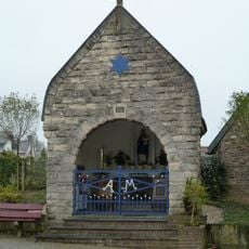
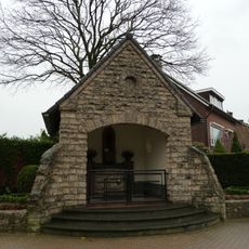
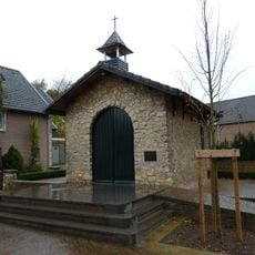
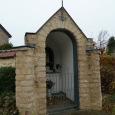
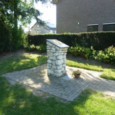
The Sint-Corneliuskapel, built in 1946 from local Kunradersteen limestone, stands at a T-junction as a focal point of the hamlet's identity. This small chapel reflects the spiritual traditions that have shaped life in this rural community.
The hamlet sits along local roads that lead to natural reserves such as Vrouwenheide, Kunderberg, and Putberg, making it easy to access surrounding wilderness areas. This location works well for visitors interested in casual walks across the plateau and through the nearby protected natural sites.
A campground in the hamlet takes advantage of a geographic advantage: its position on one of the country's higher points gives visitors a special view over the landscape. This elevated location made it an appealing spot to operate a tourist camping area with roughly 122 spaces.
The community of curious travelers
AroundUs brings together thousands of curated places, local tips, and hidden gems, enriched daily by 60,000 contributors worldwide.