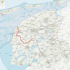
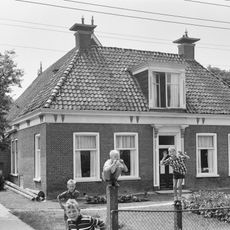
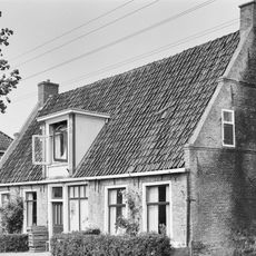
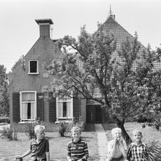
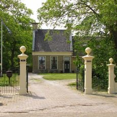
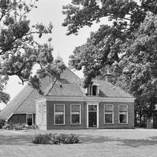
Fatum, Rural hamlet in Waadhoeke, Netherlands
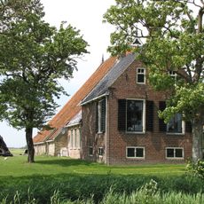
Fatum is a rural hamlet in Waadhoeke that spreads along the Wommelserweg between De Kampen and Teetlum, with single-family houses and farms scattered throughout. The settlement comprises nine registered addresses and retains the quiet, dispersed character typical of small countryside communities.
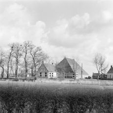
The hamlet grew on a terp, an artificial hill built on a floodplain to protect against water, with archaeological finds dating to the middle Iron Age. This building technique was an early defense strategy against flooding common to this Dutch coastal region.
The name Fatum has shifted through different historical forms including Taltem, Faltma, and Fautum, possibly linked to a person named Falda or a location near a sheepfold. You can trace this linguistic journey through local records and place names that residents still use.
The southern section of the original terp remains intact, with archaeological surveys confirming well-preserved underlying layers. Walking through the area, you can observe how the landscape around the hamlet rises slightly where the artificial hill once stood.
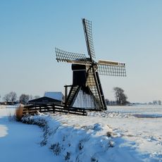
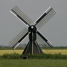
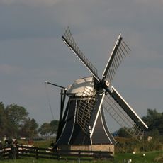
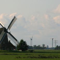
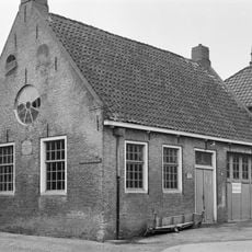
A windmill from 1914 stands in the Fatum polder and was rebuilt after suffering two major fires. The structure became a national monument in 1971, making it one of the few industrial heritage buildings in the area that visitors can still see today.
Location: Waadhoeke
GPS coordinates: 53.14697,5.57383
Latest update: December 14, 2025 17:02
Slachtedijk
2.1 kmDoijum
1.6 kmBonkwerd
2.7 km
Fatum
658 m
Johanneskerk, Tzum
1.5 km
Duivenhok
1.6 km
Edensermolen
3.3 km
Kerk van Kûbaard
3 km
Ursulakerk, Wjelsryp
3.3 km
Sint-Remigiuskerk
2.3 km
't Heechhout
2.9 km
Meerswal
3.5 km
De Westermolen
3 km
Berkwerterleane 4, Kûbaard
2.4 km
Grote kop-rompboerderij met alleen achteraan onderkelderd voorhuis, gepleisterde topgevel met gesloten top met kleine lichtopeningen en omlopende houten goot
3.4 km
Tsjerkebuorren 1, Spannum
2.3 km
Betonnen voetgangersbrug over de Franekervaart
3 kmZuiderpolder (polder sa Olanda)
2.8 km
Pand onder zadeldak tussen twee topgevels met waterlijsten, beitelingen langs de zijden en ieder twee kleine lichtopeningen met luiken
3.2 km
Tsjerkebuorren 16, Spannum
2.2 km
Lutje Lollum 1, Franeker
3 km
Franekerweg 30, Tzum
1.6 km
Pand tegen brede topgevel onder zadeldak met topschoorsteen
1.4 km
Boerderij met groot schuurdak en dwars voorhuis met omlijste ingang en geblokte kroonlijst onder schilddak met tweedelige dakkapel en twee hoekschoorstenen met versierde borden
2.1 km
Pand tegen topgevel met deklijsten en zes- en vierruitsvensters onder zadeldak met topschoorsteen
1.5 km
Voorm. lagere school
1.5 km
Eenvoudig pand met zesruitsvensters onder schilddak met versierde dakkapel
1.4 km
Slotwei 8, Tzum
980 mVisited this place? Tap the stars to rate it and share your experience / photos with the community! Try now! You can cancel it anytime.
Discover hidden gems everywhere you go!
From secret cafés to breathtaking viewpoints, skip the crowded tourist spots and find places that match your style. Our app makes it easy with voice search, smart filtering, route optimization, and insider tips from travelers worldwide. Download now for the complete mobile experience.
A unique approach to discovering new places❞
— Le Figaro
All the places worth exploring❞
— France Info
A tailor-made excursion in just a few clicks❞
— 20 Minutes