
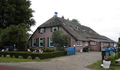
Gemeenteweg 371, Staphorst, Bauernhaus in den Niederlanden
Location: Staphorst
Address: Gemeenteweg 371
GPS coordinates: 52.65711,6.23867
Latest update: March 5, 2025 05:13
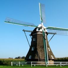
De Leijen
442 m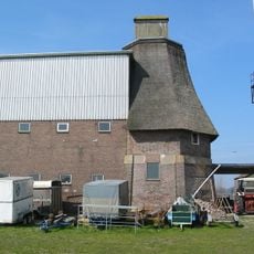
De Haarmolen
1.2 km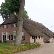
Gemeenteweg 346, Staphorst
226 m
Gemeenteweg 272, Staphorst
1.2 km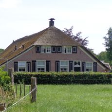
Leijendwarsweg 4, Staphorst
722 m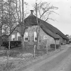
Gemeenteweg 305, Staphorst
1.1 km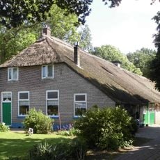
Gemeenteweg 312, Staphorst
904 m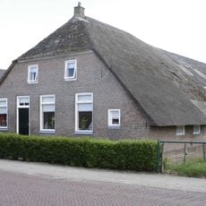
Gemeenteweg 292, Staphorst
1.1 km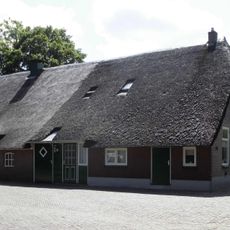
Gemeenteweg 308, Staphorst
978 m
Gemeenteweg 298, Staphorst
1 km
Gemeenteweg 330, Staphorst
712 m
Gemeenteweg 353, Staphorst
745 m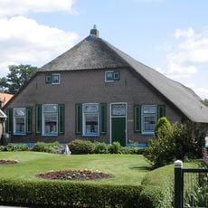
Gemeenteweg 286, Staphorst
1.1 km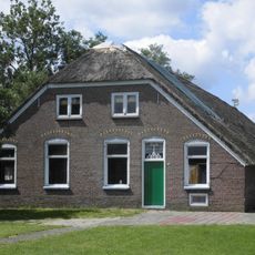
Gemeenteweg 351, Staphorst
814 m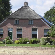
Gemeenteweg 337, Staphorst
974 m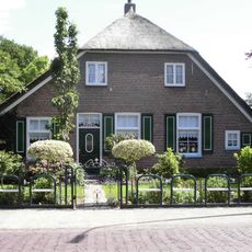
Gemeenteweg 300, Staphorst
989 m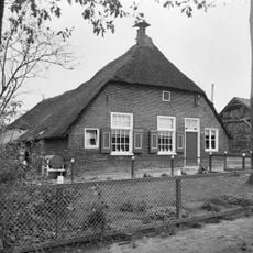
Boerderij van het Staphorstse type
982 m
Gemeenteweg 321, Staphorst
1.1 km
Gemeenteweg 369, Staphorst
38 m
Gemeenteweg 301, Staphorst
1.1 km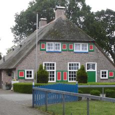
Gave boerderij van het Staphorstse type
151 m
Jan Lubbertsland 2, Staphorst
915 m
Boerderij van het Staphorstse type
1.2 km
Gave boerderij van het Staphorstse type
639 m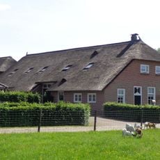
Portiekstraatje 4, Staphorst
565 m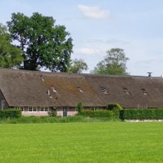
Sprakelhorstweg 1, Staphorst
644 m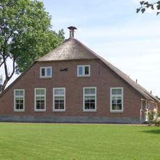
Sprakelhorstweg 2, Staphorst
720 m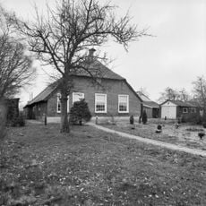
Zwarteveenweg 2, Staphorst
1.2 kmReviews
Visited this place? Tap the stars to rate it and share your experience / photos with the community! Try now! You can cancel it anytime.
Discover hidden gems everywhere you go!
From secret cafés to breathtaking viewpoints, skip the crowded tourist spots and find places that match your style. Our app makes it easy with voice search, smart filtering, route optimization, and insider tips from travelers worldwide. Download now for the complete mobile experience.

A unique approach to discovering new places❞
— Le Figaro
All the places worth exploring❞
— France Info
A tailor-made excursion in just a few clicks❞
— 20 Minutes