
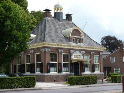
Voorm. gemeentehuis, Rijksmonument op Hoofdstraat 11
Location: Aa en Hunze
Address: Hoofdstraat 11
GPS coordinates: 52.98740,6.64659
Latest update: March 23, 2025 04:50

Jacobuskerk (Rolde)
169 m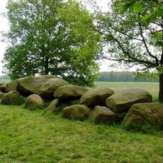
D16
2.4 km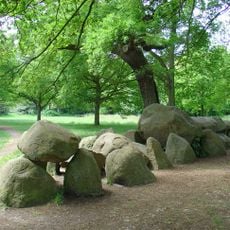
D17
364 m
D18
296 m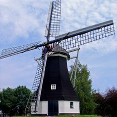
Molen van Rolde
320 m
Drentsche Aa-gebied
4.1 km
Kampsheide
2.2 km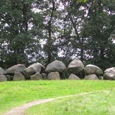
Duvels Kut
323 m
Balloerkuil Rolde
603 m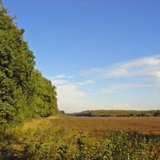
Westersche Veld
3.4 km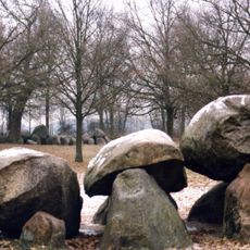
Hunebedden in Rolde
321 m
Scheebroekenloopje
3.7 km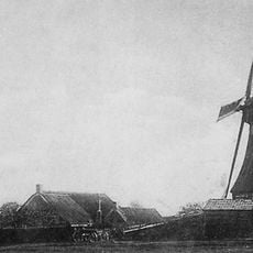
Molen van Brands
430 m
Herdershond en schapen
3.8 km
Hagenend 3, Anderen
3.1 km
Anreep 6-8
4.3 km
Veenvoort 3, Anderen
2.8 km
Boerderij met woonhuis dat oorspronkelijk als "zuivelfabriek" werd gebouwd
2.9 km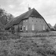
Hagenend 2, Anderen
3.1 km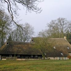
Landgoed Kamps
2.2 km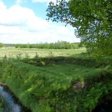
Poepenhemeltje
3 km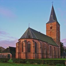
Hervormde kerk
171 m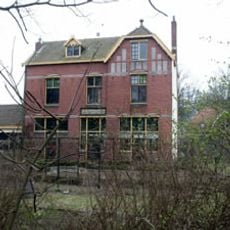
Voorm. Station Rolde
454 m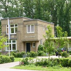
De Eekhof
411 m
Markeweg 2, Loon
3.6 km
Deurze 10, Deurze
2.5 km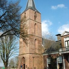
Hervormde kerk, toren
177 m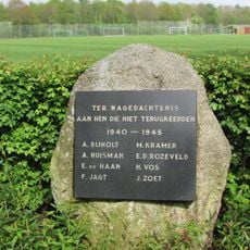
Monument ‘Asser Boys’
4.1 kmVisited this place? Tap the stars to rate it and share your experience / photos with the community! Try now! You can cancel it anytime.
Discover hidden gems everywhere you go!
From secret cafés to breathtaking viewpoints, skip the crowded tourist spots and find places that match your style. Our app makes it easy with voice search, smart filtering, route optimization, and insider tips from travelers worldwide. Download now for the complete mobile experience.

A unique approach to discovering new places❞
— Le Figaro
All the places worth exploring❞
— France Info
A tailor-made excursion in just a few clicks❞
— 20 Minutes