
Lage der A 12-13, Rijksmonument op Lage der A 12-13
Location: Groningen
Address: Lage der A 12-13
GPS coordinates: 53.21756,6.55894
Latest update: March 5, 2025 16:47


Hoge der A 5
91 m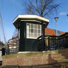
Brugwachtershuisje
97 m
Hoge der A 16 (Groningen)
50 m
Hoge der A 21 (Groningen)
70 m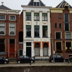
Hoge der A 7 (Groningen)
97 m
Hoge der A 6 (Groningen)
85 m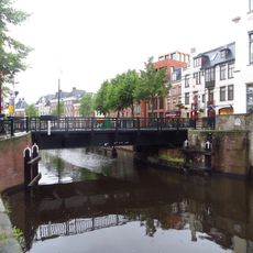
A-brug
110 m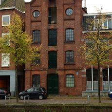
Lage der A 21
70 m
Hoge der A 12
72 m
Hoge der A 23
74 m
Lage der A 24 (Groningen)
89 m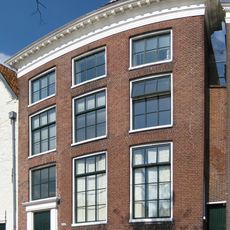
Hoge der A 20
66 m
Lage der A 14
31 m
Hoge der A 19
60 m
Hoge der A 17 (Groningen)
55 m
Hoge der A 22 (Groningen)
74 m
Hoge der A 14
51 m
Hoge der A 26
97 m
Lage der A 17
50 m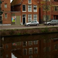
Lage der A 8 (Groningen)
35 m
Hoge der A 18
58 m
Lage der A 18 (Groningen)
53 m
Hoge der A 13
52 m
Hoge der A 9
67 m
Hoge der A 8
92 m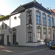
Dwarsstraat 1 (Groningen)
25 m
Lage der A 9-10
24 m
Turftorenstraat 38
96 mReviews
Visited this place? Tap the stars to rate it and share your experience / photos with the community! Try now! You can cancel it anytime.
Discover hidden gems everywhere you go!
From secret cafés to breathtaking viewpoints, skip the crowded tourist spots and find places that match your style. Our app makes it easy with voice search, smart filtering, route optimization, and insider tips from travelers worldwide. Download now for the complete mobile experience.

A unique approach to discovering new places❞
— Le Figaro
All the places worth exploring❞
— France Info
A tailor-made excursion in just a few clicks❞
— 20 Minutes