
Site in which the remains of a settlement near Rimburg, archaeological site near Rimburg, Netherlands
Location: Landgraaf
Address: Maastrichterweg
GPS coordinates: 50.91441,6.07742
Latest update: March 9, 2025 23:58
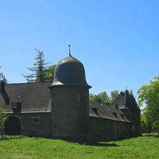
Schloss Rimburg
865 m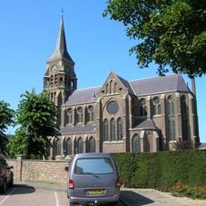
Sint-Jozefkerk
1.8 km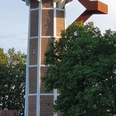
Watertower Rimburg
902 m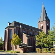
St. Mariä Himmelfahrt
1.7 km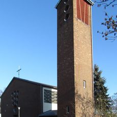
St. Mariä Heimsuchung
1.6 km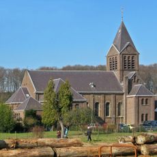
Drievuldigheidskerk
747 m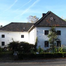
Rimburg mills
719 m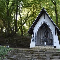
Sint-Jozefkapel
139 m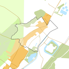
Rijksbeschermd gezicht Rimburg
595 m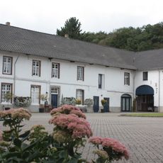
Hoeve De Kruisstraat
719 m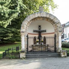
Kapel Groenstraat
1.7 km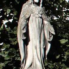
Statue of Sacred Heart of Jesus Christ
719 m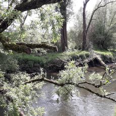
Wurmtal nördlich Herzogenrath
1.5 km
Former town hall Ubach over Worms
1.8 km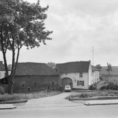
Rimburgerweg 160, Rimburg
1 km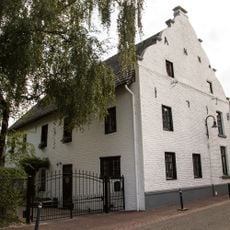
Rinckberg 27, Rimburg
557 m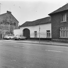
Groenstraat 128, Landgraaf
1.8 km
De Bieleman
1.9 km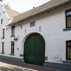
Rinckberg 29, Rimburg
545 m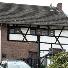
Groenstraat 123, Landgraaf
1.8 km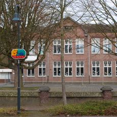
Palenbergerweg 5, Rimburg
807 m
Rinckberg 22, Rimburg
546 m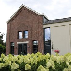
Rimburg water pumping station
561 m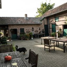
Groenstraat 139, Landgraaf
1.7 km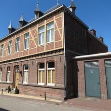
Broekhuizenstraat 107, Rimburg
406 m
Charles Frehenstraat 2, Landgraaf
1.9 km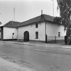
Groenstraat 126, Landgraaf
1.8 km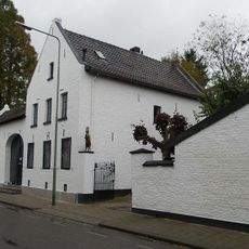
Grensstraat 87, Landgraaf
1.8 kmReviews
Visited this place? Tap the stars to rate it and share your experience / photos with the community! Try now! You can cancel it anytime.
Discover hidden gems everywhere you go!
From secret cafés to breathtaking viewpoints, skip the crowded tourist spots and find places that match your style. Our app makes it easy with voice search, smart filtering, route optimization, and insider tips from travelers worldwide. Download now for the complete mobile experience.

A unique approach to discovering new places❞
— Le Figaro
All the places worth exploring❞
— France Info
A tailor-made excursion in just a few clicks❞
— 20 Minutes