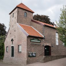
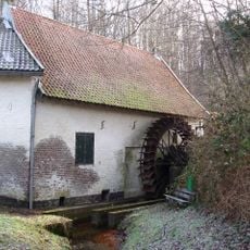
Landgraaf, farm village in the Netherlands
Landgraaf is a town in the southern part of Limburg province in the Netherlands. It is surrounded by green fields and old buildings, with friendly streets where locals walk and bicycle through calm neighborhoods at a relaxed pace.
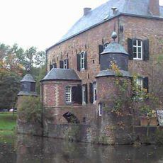
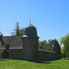
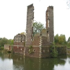
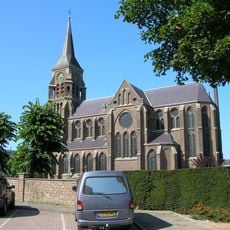
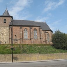
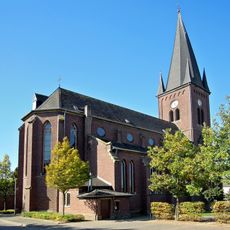
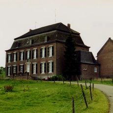
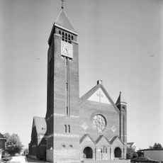
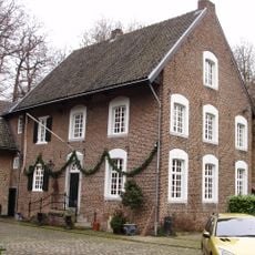
Landgraaf has a history spanning several centuries. Schaesberg Castle, built in the 17th century, stands as one of the oldest structures and has been carefully restored over time to preserve its past and role in local history.
The name Landgraaf refers to a historical figure of authority in the region. Today locals gather in cafes and parks, taking pride in their town and creating a welcoming atmosphere that defines how visitors experience the place.
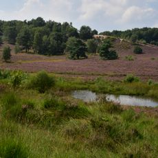
The town is flat and perfect for cycling through the countryside. Many paths run through rural areas, allowing visitors to explore country life and nature at a leisurely pace without difficulty.
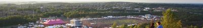
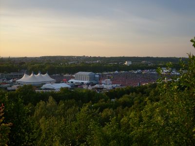
Landgraaf is home to SnowWorld, an indoor ski tunnel with real snow where visitors can ski or snowboard regardless of the season. The town also hosts GaiaZOO with animals from around the world, making it an unexpected destination for families seeking adventure in a rural setting.
The community of curious travelers
AroundUs brings together thousands of curated places, local tips, and hidden gems, enriched daily by 60,000 contributors worldwide.