
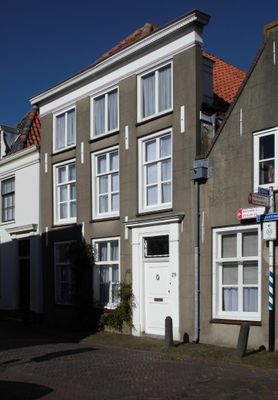
Dorpsstraat 29, Baambrugge, building in De Ronde Venen, Netherlands
Location: De Ronde Venen
Address: Dorpsstraat 29 1396KH
GPS coordinates: 52.24569,4.99092
Latest update: March 3, 2025 07:33
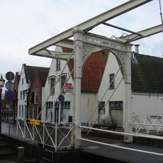
Ophaalbrug, Baambrugge
112 m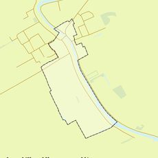
Rijksbeschermd gezicht Baambrugge
227 m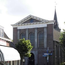
Nederlands Hervormde Kerk
98 m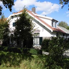
Paddenburg
331 m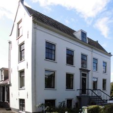
Vrederust, Baambrugge
379 m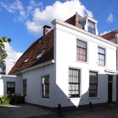
Dorpsstraat 27, Baambrugge
11 m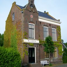
Vrijstaand voormalig raadhuis
97 m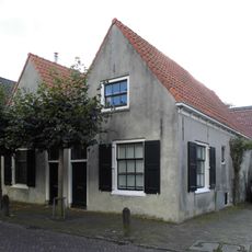
Dorpsstraat 12, Baambrugge
65 m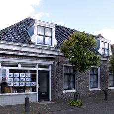
Dorpsstraat 5, Baambrugge
64 m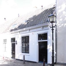
Dorpsstraat 39, Baambrugge
36 m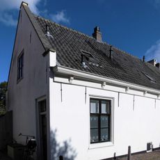
Dorpsstraat 35, Baambrugge
31 m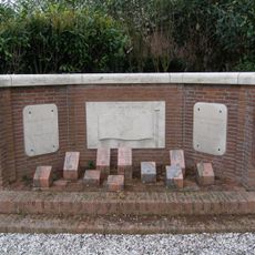
Oorlogsmonument
168 m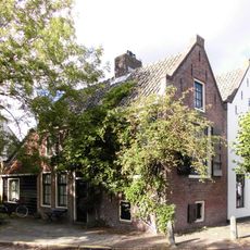
Kleiweg 2, Baambrugge
116 m
Dorpsstraat 9, Baambrugge
70 m
Dorpsstraat 33, Baambrugge
17 m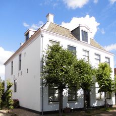
Dorpsstraat 21, Baambrugge
29 m
Dorpsstraat 11, Baambrugge
71 m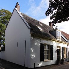
Dorpsstraat 43, Baambrugge
63 m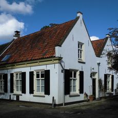
Dorpsstraat 45, Baambrugge
74 m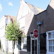
Dorpsstraat 31, Baambrugge
9 m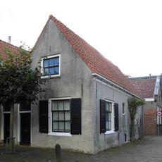
Dorpsstraat 10, Baambrugge
69 m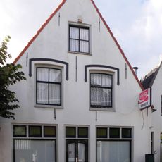
Brugstraat 3, Baambrugge
114 m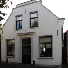
Dorpsstraat 14, Baambrugge
59 m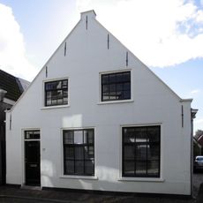
Dorpsstraat 22, Baambrugge
22 m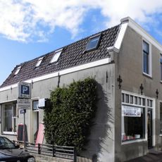
Dorpsstraat 24, Baambrugge
29 m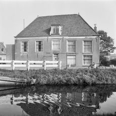
Pand met gepleisterde topgevel met opkamer
110 m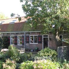
Rijksstraatweg 83, Baambrugge
59 m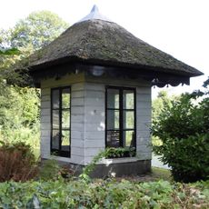
Vrederust: houten kapel
381 mVisited this place? Tap the stars to rate it and share your experience / photos with the community! Try now! You can cancel it anytime.
Discover hidden gems everywhere you go!
From secret cafés to breathtaking viewpoints, skip the crowded tourist spots and find places that match your style. Our app makes it easy with voice search, smart filtering, route optimization, and insider tips from travelers worldwide. Download now for the complete mobile experience.

A unique approach to discovering new places❞
— Le Figaro
All the places worth exploring❞
— France Info
A tailor-made excursion in just a few clicks❞
— 20 Minutes