Enable Location

We need your location to show you interesting places around you

Discover nearby places

Find interesting locations and hidden gems around you

Precise directions

Get accurate directions and distances to places

Your location is never shared with other users. It's only used when you tap the location button.

De Ronde Venen

Log in to your account

Start exploring — it's free

Trusted by 64,408 travelers worldwide

Continue with Google
Continue with Apple
or

We will send you a code to connect

By continuing, you accept our Terms and Conditions and our Privacy Policy

Check your inbox

We've sent a pincode in your inbox. Please enter the code below.

Discussion Reviews 1 Photos
16.2k Popularity

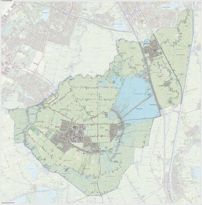
De Ronde Venen, municipality in the Netherlands

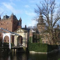
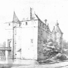
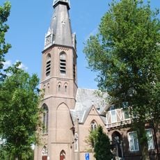
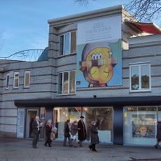
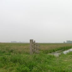
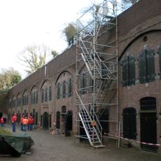
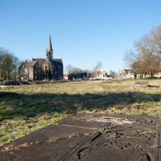
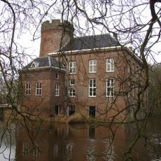
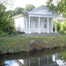
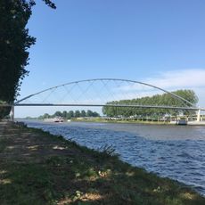
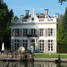
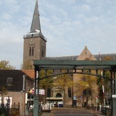
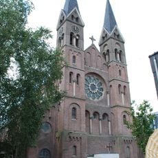
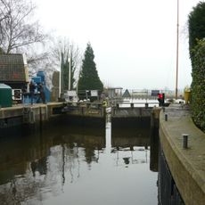
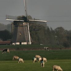
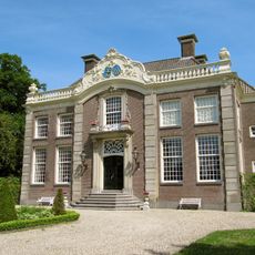
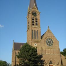
De Ronde Venen is a municipality in the Netherlands comprised of several small villages and hamlets scattered across a flat green landscape with numerous lakes, waterways, and farmland. The settlements are connected by narrow roads and water channels, featuring traditional rural architecture with old farmhouses and brick buildings throughout the area.

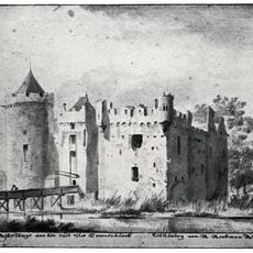
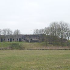
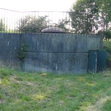
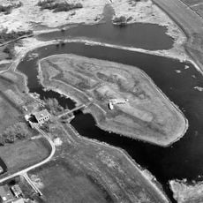
The region formed in the Middle Ages through peat harvesting, with people systematically extracting peat from wetlands to use as fuel. From the 15th century onward, the material became highly demanded in nearby cities, leading to the creation of long, narrow plots specifically designed for drying peat.

The villages in De Ronde Venen share a rural culture where outdoor activities and water-based recreation shape daily life. You can see people spending time on lakes and waterways for boating, cycling, and walking, while local markets and community gatherings bring neighbors together throughout the year.

The municipality is easily reached by road and small train stations, and offers numerous cycling and walking paths throughout the landscape. Flat routes and level terrain make exploration on foot or by bicycle straightforward, with plenty of opportunities to rest by the water or rent boats.

The name and geography of the region reflect its origins: the round shapes of the lakes were created by peat harvesting methods that shaped the land over hundreds of years and formed the landscape's distinctive geometry. These water bodies are now places for recreation, yet they preserve memories of a time when they were the economic center of village life.

The community of curious travelers

AroundUs brings together thousands of curated places, local tips, and hidden gems, enriched daily by 60,000 contributors worldwide.

Start exploring
Location
Inception
January 1, 1989
Elevation above the sea
-2 m
Shares border with
Woerden, Amstelveen, Amsterdam, Ouder-Amstel, Uithoorn, Weesp, Stichtse Vecht, Nieuwkoop
Phone
GPS coordinates
52.21170,4.89140
Latest update
February 19, 2026 22:40
Reviews
Share your experience

No review yet

Discussions
Start a discussion...

No discussion yet

« De Ronde Venen - municipality in the Netherlands » is provided by Around Us (aroundus.com). Images and texts are derived from Wikimedia project under a Creative Commons license. You are allowed to copy, distribute, and modify copies of this page, under the conditions set by the license, as long as this note is clearly visible.

Discover hidden gems everywhere you go!

From secret cafés to breathtaking viewpoints, skip the crowded tourist spots and find places that match your style. Our app makes it easy with voice search, smart filtering, route optimization, and insider tips from travelers worldwide. Download now for the complete mobile experience.

Around Us App Screenshot

A unique approach to discovering new places

Le Figaro

All the places worth exploring

France Info

A tailor-made excursion in just a few clicks

20 Minutes

Around Us
Travel Guide & Maps
Download

Send to your phone

QR Code
1

Open the camera app on your mobile.

2

Point at the QR code with your camera. A notification will appear.

3

Tap the notification to open the link.