
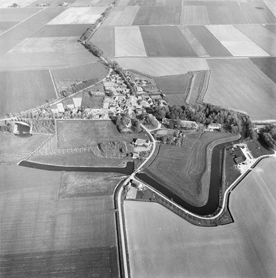
Bastionvormig terrein begrensd door de Aa, Rijksmonument op zuidzijde vesting
Location: Westerwolde
Address: zuidzijde vesting
GPS coordinates: 53.13698,7.14186
Latest update: March 5, 2025 00:03
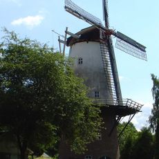
Veldkamp's Meuln
2.3 km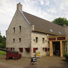
Vestingmuseum Oudeschans
186 m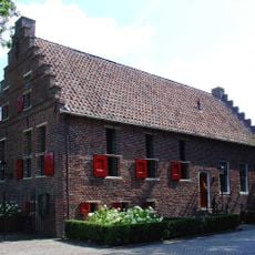
Rechthuis
2.4 km
Nederlands Hervormde Kerk
163 m
Rijksbeschermd gezicht Oudeschans
167 m
Doodenbastion
172 m
Hoofdweg 306, Bellingwolde
2.4 km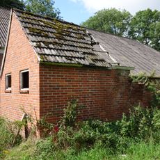
Stookhut
2.2 km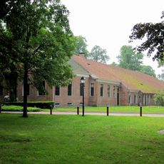
Het Wapen van Oudeschans
194 m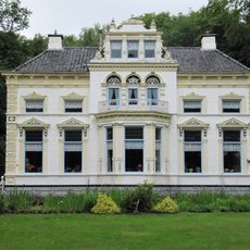
Hoofdweg 263, Bellingwolde
2.3 km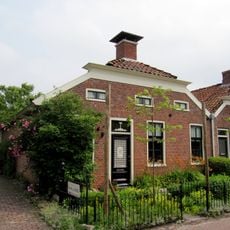
Voorstraat 22, Oudeschans
109 m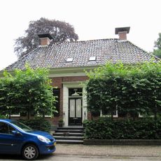
Hoofdweg 290, Bellingwolde
2.4 km
Villaboerderij in eclectische stijl met neoclassicistische en Art Nouveau-elementen
2.4 km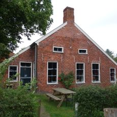
Wymeersterweg 1, Bellingwolde
2.2 km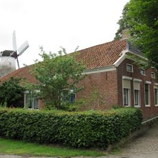
Hoofdweg 312, Bellingwolde
2.3 km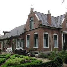
Hoofdweg 237, Bellingwolde
2.4 km
Hoofdweg 245, Bellingwolde
1.9 km
Voorstraat 20, Oudeschans
111 m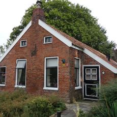
Wymeersterweg 2, Bellingwolde
2.3 km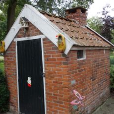
Stookhut
2.3 km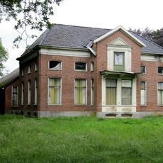
Hoofdweg 303, Bellingwolde
2.2 km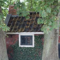
Stookhut
2.2 km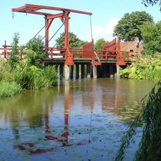
Vesting Oudeschans
377 m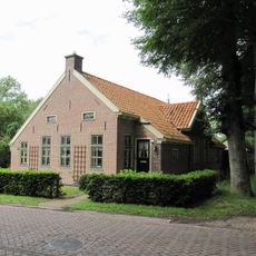
Hoofdweg 299, Bellingwolde
2.3 km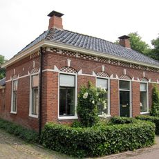
Voorstraat 12, Oudeschans
93 m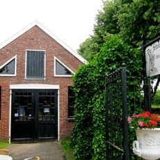
Stelmakerij
93 m
Pand onder zadeldak tegen puntgevel
98 m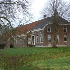
Boerderij van het Oldambtster type
781 mReviews
Visited this place? Tap the stars to rate it and share your experience / photos with the community! Try now! You can cancel it anytime.
Discover hidden gems everywhere you go!
From secret cafés to breathtaking viewpoints, skip the crowded tourist spots and find places that match your style. Our app makes it easy with voice search, smart filtering, route optimization, and insider tips from travelers worldwide. Download now for the complete mobile experience.

A unique approach to discovering new places❞
— Le Figaro
All the places worth exploring❞
— France Info
A tailor-made excursion in just a few clicks❞
— 20 Minutes