
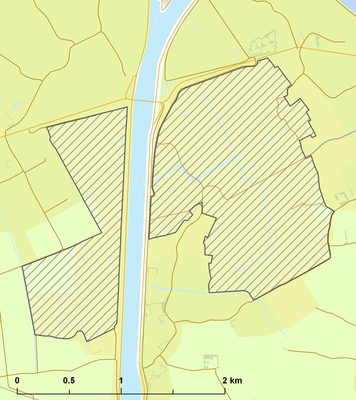
Yerseke en Kapelse Moer, protected area in Kingdom of the Netherlands
Location: Zeeland
Location: Kapelle
Location: Reimerswaal
Inception: 2010
GPS coordinates: 51.48580,4.00790
Latest update: March 16, 2025 18:21
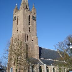
Onze-Lieve-Vrouwekerk
3.5 km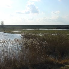
Yerseke Moer
1.2 km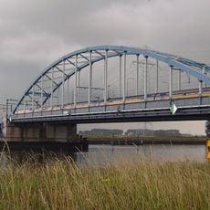
Vlakebrug
1.8 km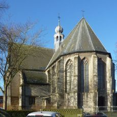
Odulphuskerk (Yerseke)
3 km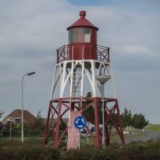
Hansweert Lighthouse
3.6 km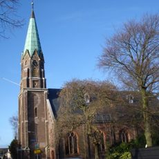
Nederlands Hervormde Kerk
3.3 km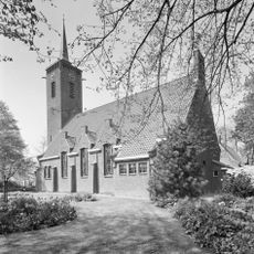
Hervormde Kerk
2.6 km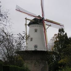
Aeolus
3.2 km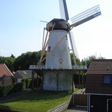
De Hoop
3.2 km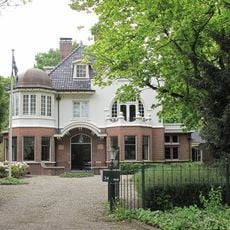
Biezelingsestraat 34, Kapelle
3.4 km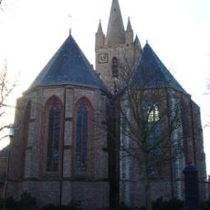
Hervormde kerk
3.5 km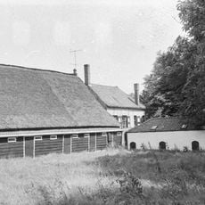
't Hof Maalkote
3.3 km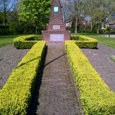
Oorlogsmonument
2.8 km
De Nijverheid
3.3 km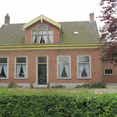
Plantlust
3.6 km
Hof Seemaerte
2.8 km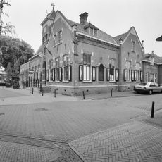
Gemeentehuis
3 km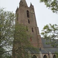
Toren van de Hervormde kerk
3.5 km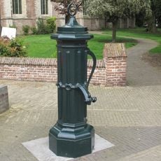
Dorpspompen
3.5 km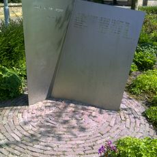
Oorlogsmonument
2.6 km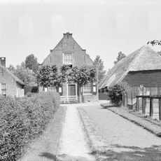
De Jonge Bogaard
2.8 km
Schoudeeweg 1, Wemeldinge
3.4 km
Schoudeeweg 3, Wemeldinge
3.4 km
De Haven
3.4 km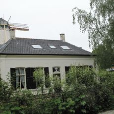
't Huis Aeolus
3.1 km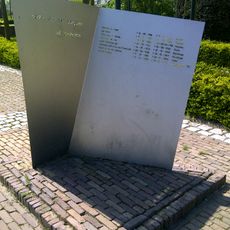
Oorlogsmonument
3.4 km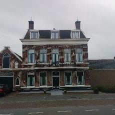
Herenhuis met aangrenzend koetshuis, onder invloed van het neo-classicisme. Het pand is gebouwd tegen een dijk; aan de achterzijde is de kelderverdieping zichtbaar
3 km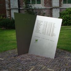
Oorlogsmonument
3.4 kmReviews
Visited this place? Tap the stars to rate it and share your experience / photos with the community! Try now! You can cancel it anytime.
Discover hidden gems everywhere you go!
From secret cafés to breathtaking viewpoints, skip the crowded tourist spots and find places that match your style. Our app makes it easy with voice search, smart filtering, route optimization, and insider tips from travelers worldwide. Download now for the complete mobile experience.

A unique approach to discovering new places❞
— Le Figaro
All the places worth exploring❞
— France Info
A tailor-made excursion in just a few clicks❞
— 20 Minutes