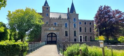
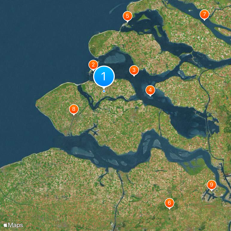
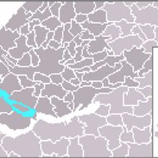
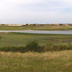
Zeeland, Province with islands and peninsulas in southwestern Netherlands
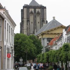
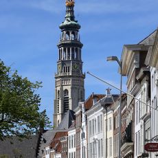
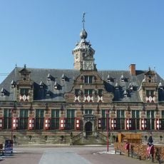
Zeeland is a province in southwestern Netherlands formed by six islands and several peninsulas connected through dams and bridges. The coastline runs along the North Sea and the Western Scheldt, where sandy beaches alternate with harbor inlets.
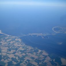
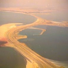
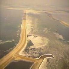
The storm surge of 1953 flooded large parts of the region and led to the construction of the Delta Works over the following decades. These defenses changed the geography of the province by closing off several sea arms with massive barriers.
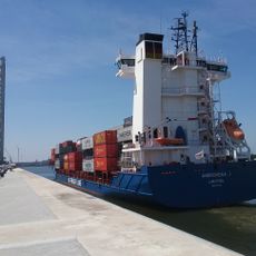
The name comes from the Dutch word for sea land, reflecting its position across several islands separated by water. Residents still maintain the tradition of dike protection and use the Scheldt as a major waterway for trade and fishing.
Trains connect cities like Middelburg and Vlissingen to Rotterdam and The Hague, while regional buses serve smaller coastal towns. Bicycles are widely used and follow a network of signposted cycle routes through flat terrain.
The Oosterscheldekering is a movable barrier that opens during tides and closes only during storm threats, allowing the salt water of the Scheldt to continue flowing inland. This design enables the survival of mussel beds and oyster farms that depend on regular tidal exchange.
The community of curious travelers
AroundUs brings together thousands of curated places, local tips, and hidden gems, enriched daily by 60,000 contributors worldwide.