Oosterschelde, Protected bay in Zeeland, Netherlands
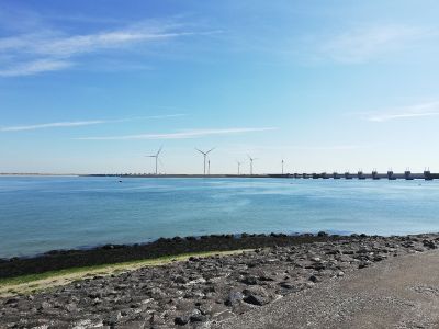
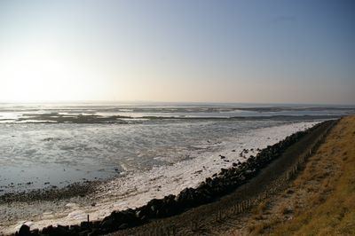
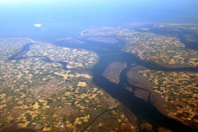
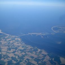
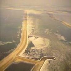
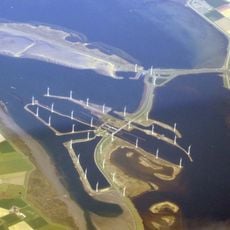
The Oosterschelde is a bay with water channels, mudflats, and salt marshes that form a connected ecosystem throughout the region. Water depth varies from shallow areas to deeper channels, with many islands and peninsulas that change appearance with the tides.
The area served as the main mouth of the Scheldt River for centuries until the Saint Felix flood in 1530 dramatically reshaped the coastline. These changes redirected water flows and transformed how people lived and worked in the region for generations afterward.
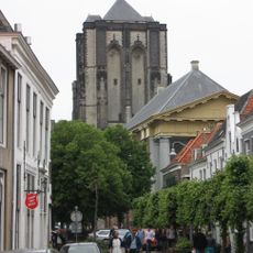
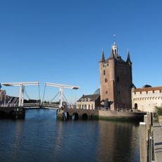
The local population has lived alongside tides and saltwater for generations, shaping how communities here relate to the water and their work. Small fishing villages and harbors remain gathering places where people maintain traditional skills passed down through families.
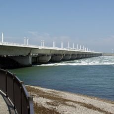
You can explore this area from coastal towns like Bergen op Zoom and Wemeldinge, which have boat rentals and equipment for water activities. Plan your visit around high tide, as low water exposes extensive mudflats and makes some areas harder to navigate.
Seals regularly haul out on sandbanks throughout the bay, especially in quiet areas between islands, and have become accustomed to human presence nearby. Keeping distance from them is essential to avoid disturbing their rest and feeding patterns.
The community of curious travelers
AroundUs brings together thousands of curated places, local tips, and hidden gems, enriched daily by 60,000 contributors worldwide.