Krammer, reservoir in the Netherlands
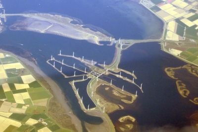
The Krammer is a large body of water in southwestern Netherlands between Tholen and Schouwen-Duiveland, stretching about 13 kilometers long and up to 4 kilometers wide at its widest point. It connects to the Oosterschelde through natural channels and contains a mixture of salt and fresh water influenced by tides, with depths reaching over 25 meters below sea level in some areas.
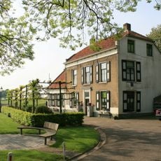
The Krammer historically served as a shipping route and fishing ground that shaped the development of surrounding communities over many centuries. The construction of the Philipsdam in 1987 transformed the area through a major infrastructure project that separated it from the Grevelingen and fundamentally reshaped water management in the region.
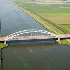
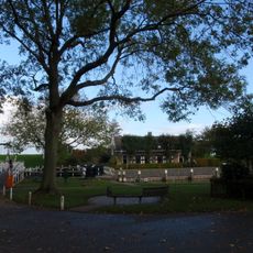
The Krammer takes its name from the wide waterway that has been central to local life for centuries. People here have always organized their settlements and activities around this body of water, which remains visible today in how boats and ships use the waterways and in the continued connection between communities separated by the water.
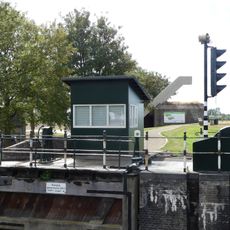
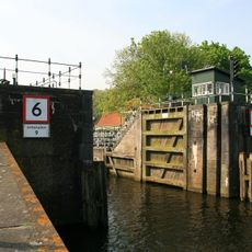
Visitors can best explore the area by boat or enjoy views from the shores, keeping in mind wind and tidal conditions that change throughout the day. Water levels and operational information about sluices and bridges are available online and help with planning activities like sailing, boating, or birdwatching.
The area is part of the National Park Oosterschelde and provides habitat for seals, fish, and many bird species that can be regularly spotted by visitors. The changing salinity of the water, which fluctuates with tides, creates a special ecosystem that stands apart from other Dutch waterways.
The community of curious travelers
AroundUs brings together thousands of curated places, local tips, and hidden gems, enriched daily by 60,000 contributors worldwide.