
Slettberget, cliff in Sør-Varanger municipality, Norway
Location: Sør-Varanger Municipality
GPS coordinates: 69.70999,29.97864
Latest update: September 9, 2025 05:48
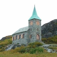
King Oscar II Chapel
33.2 km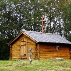
Saint George Chapel
23.3 km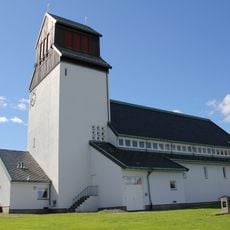
Kirkenes Church
3.2 km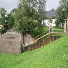
Andersgrotta
3.4 km
Saints Boris and Gleb Church (Borisoglebsky)
8.6 km
Jarfjorden
18.9 km
Bøkfjorden
4.6 km
Vadsø Church
41.7 km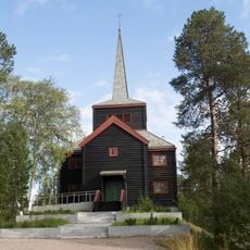
Svanvik Church
28.8 km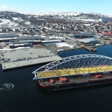
Bøkfjord Bridge
6 km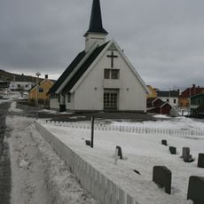
Bugøynes Chapel
32.1 km
Saviomuseet
2.6 km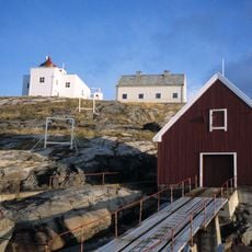
Bøkfjord Lighthouse
20.1 km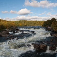
Skoltefossen
23.6 km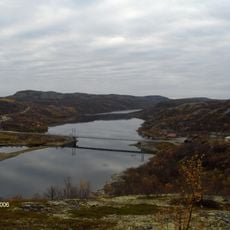
Elvenes Bridge
6.2 km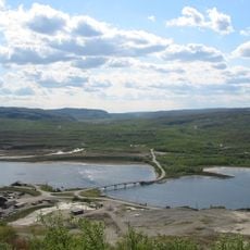
Sandnesbrua
4.8 km
Rørbua
5.5 km
Neidenfjorden
13.8 km
Neiden bru
23.5 km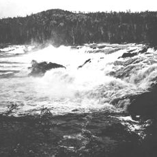
Skogfoss
39.2 km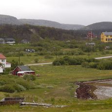
Bugøyfjorden
28.6 km
Grabben
4.8 km
Varanger Museum, avd. Sør-Varanger
2.6 km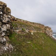
Ekkerøya
40.6 km
Vadsø museum – Ruija kvenmuseum
41.9 km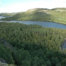
Harefossen
13.2 km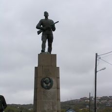
Russermonumentet
3.4 km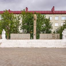
Памятник «Героям Заполярья» на братской могиле советским воинам
35.1 kmReviews
Visited this place? Tap the stars to rate it and share your experience / photos with the community! Try now! You can cancel it anytime.
Discover hidden gems everywhere you go!
From secret cafés to breathtaking viewpoints, skip the crowded tourist spots and find places that match your style. Our app makes it easy with voice search, smart filtering, route optimization, and insider tips from travelers worldwide. Download now for the complete mobile experience.

A unique approach to discovering new places❞
— Le Figaro
All the places worth exploring❞
— France Info
A tailor-made excursion in just a few clicks❞
— 20 Minutes