Stenlihammaren
Location: Gjemnes Municipality
Elevation above the sea: 120 m
GPS coordinates: 62.91889,7.68671
Latest update: October 27, 2025 09:37
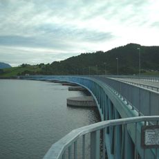
Bergsøysund Bridge
12.2 km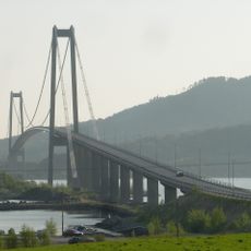
Gjemnessund Bridge
7.4 km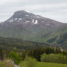
Reinsfjellet
12.3 km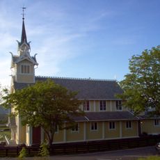
Frei Church
13.1 km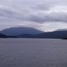
Kvernesfjorden
14.3 km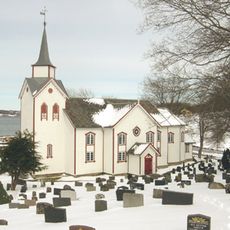
Øre Church
3.4 km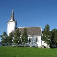
Kvernes Church
9.8 km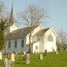
Gjemnes Church
6.8 km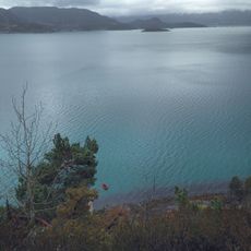
Freifjorden
17.4 km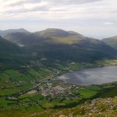
Batnfjorden
1.6 km
Averøy kommunehus
15.2 km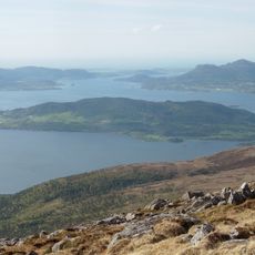
Bergsøyfjorden
13.3 km
Frei prestegård
13.2 km
Einneset
6.2 km
Gamle Kvernes bygdemuseum
10 km
Søbstad
14.9 km
Røsand/ Rødsand I
16.4 km
GJEMNES
6.9 km
Niseskulpturen
8 km
Skarvan
9.5 km
Varden
10.7 km
Raudsandberget
16.2 km
Storheia
15.8 km
Hosetlia
7.3 km
Bjergje
14.8 km
Scenic viewpoint
13.6 km
Orsetra
15.5 km
Lågfjellet
14.3 kmReviews
Visited this place? Tap the stars to rate it and share your experience / photos with the community! Try now! You can cancel it anytime.
Discover hidden gems everywhere you go!
From secret cafés to breathtaking viewpoints, skip the crowded tourist spots and find places that match your style. Our app makes it easy with voice search, smart filtering, route optimization, and insider tips from travelers worldwide. Download now for the complete mobile experience.

A unique approach to discovering new places❞
— Le Figaro
All the places worth exploring❞
— France Info
A tailor-made excursion in just a few clicks❞
— 20 Minutes