
Brattstupet
Location: Eidskog Municipality
Elevation above the sea: 226 m
GPS coordinates: 59.99793,12.24958
Latest update: March 19, 2025 00:18
Eda Municipality
21.7 km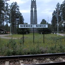
Morokulien
7.4 km
Skinnarbøl
22.7 km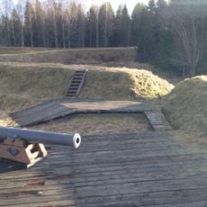
Eda Sconce
20.2 km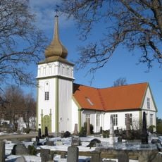
Vinger Church
25.6 km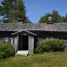
Ritamäki
23.4 km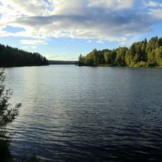
Askesjön
23.9 km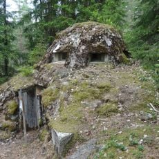
Skansen Hultet
10.5 km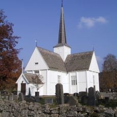
Eidskog Church
7.8 km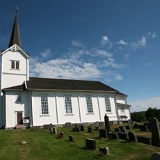
Vestmarka church
16.5 km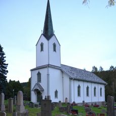
Skillingmark Church
24 km
Magnor Church
6.7 km
Bogens kyrka
18.3 km
Tråstad skanse
25.1 km
Saint Clare Church
23.6 km
Gjemselund bru
25.7 km
Kulturparken Nor
24.7 km
Lersjöns kapell
12.5 km
Tallmon
14.1 km
Eda glass museum
8.4 km
Skansgården
23.4 km
Lebbiko
22.6 km
Lersjöns kapell
12.5 km
Ritamäki
23.3 km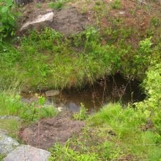
Olavskilden
11.3 km
Nytorpet, Øvre
24.4 km
Old grave yard of Eda
18.7 km
Hov
25.4 kmReviews
Visited this place? Tap the stars to rate it and share your experience / photos with the community! Try now! You can cancel it anytime.
Discover hidden gems everywhere you go!
From secret cafés to breathtaking viewpoints, skip the crowded tourist spots and find places that match your style. Our app makes it easy with voice search, smart filtering, route optimization, and insider tips from travelers worldwide. Download now for the complete mobile experience.

A unique approach to discovering new places❞
— Le Figaro
All the places worth exploring❞
— France Info
A tailor-made excursion in just a few clicks❞
— 20 Minutes