
Hagahammaren
Location: Aure Municipality
Elevation above the sea: 21 m
GPS coordinates: 63.14236,8.03631
Latest update: March 18, 2025 22:25
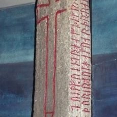
Kulisteinen
17.4 km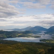
Skålvik Fjord
13.7 km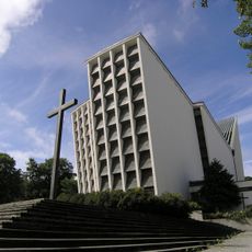
Kirkelandet Church
15.9 km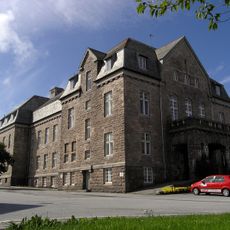
Festiviteten i Kristiansund
16.1 km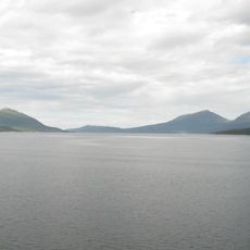
Halsafjord
6.3 km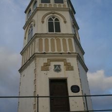
Varden (Kristiansund)
16.2 km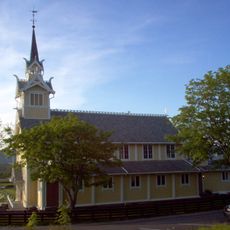
Frei Church
17.6 km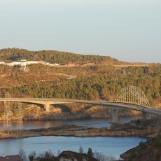
Omsund Bridge
11.6 km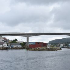
Nordsund Bridge
14.7 km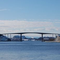
Sørsund Bridge
16.2 km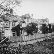
Lossiusgården
15.4 km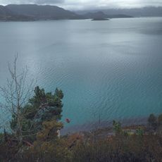
Freifjorden
13.1 km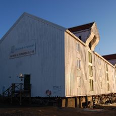
Norsk klippfiskmuseum
15.3 km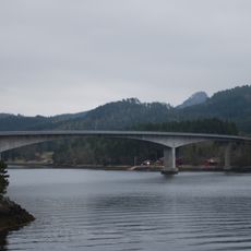
Straumsund Bridge
14.6 km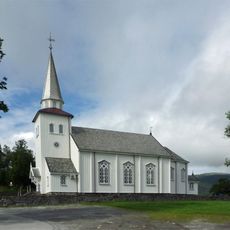
Straumsnes Church
10 km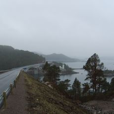
Imarsundbrua
13.8 km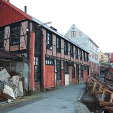
Mellemværftet
15.7 km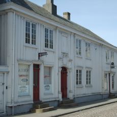
Brodtkorbgården / Christiegården
15.6 km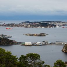
Fugløya
14.5 km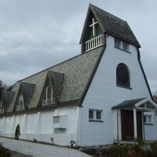
St. Eystein Church
15.8 km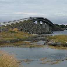
Dampleibrua
18.7 km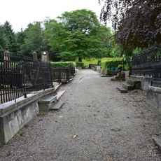
Gomalandet gravsted
15 km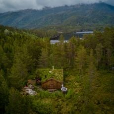
Trollstua
2.2 km
Litjsundbrua
14.7 km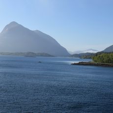
Sålåsundet
9 km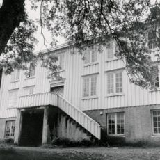
Frei prestegård
17.5 km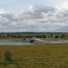
Hestøysundet bru
18.3 km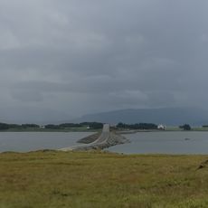
Kulisvabrua
17.6 kmReviews
Visited this place? Tap the stars to rate it and share your experience / photos with the community! Try now! You can cancel it anytime.
Discover hidden gems everywhere you go!
From secret cafés to breathtaking viewpoints, skip the crowded tourist spots and find places that match your style. Our app makes it easy with voice search, smart filtering, route optimization, and insider tips from travelers worldwide. Download now for the complete mobile experience.

A unique approach to discovering new places❞
— Le Figaro
All the places worth exploring❞
— France Info
A tailor-made excursion in just a few clicks❞
— 20 Minutes