
Tegningfallet, Wasserfall in Norwegen
Location: Rendalen Municipality
GPS coordinates: 61.87776,10.85105
Latest update: April 28, 2025 16:49


Jutulhogget
13.7 km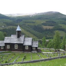
Sollia Church
26 km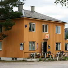
Glopheim kafé
16.4 km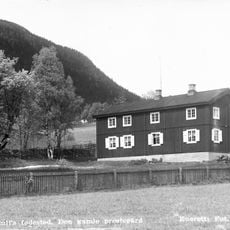
Bull Museum
12.1 km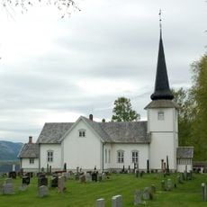
Øvre Rendal Church
12 km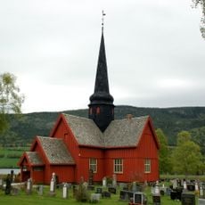
Ytre Rendal Church
21.8 km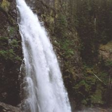
Tegningfallet
49 m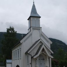
Atneosen Church
15.7 km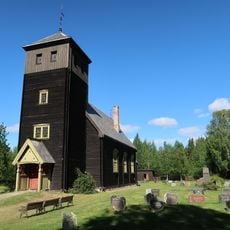
Hanestad Church
4.7 km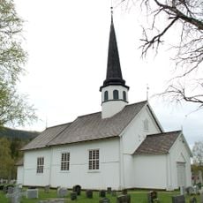
Tylldalen Church
29 km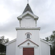
Brydalen Church
35.2 km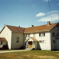
Koppang Church
34.9 km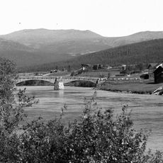
Steien bru
28.7 km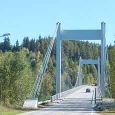
Sundfloen bridge
35.5 km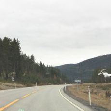
The Big Elk
23.4 km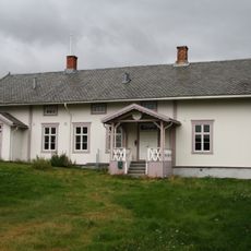
Alvdal prestegård
28.1 km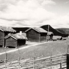
Husantunet
29.5 km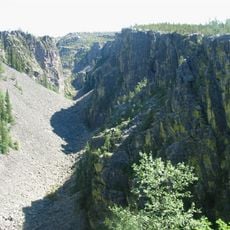
Jutulhogget
14.6 km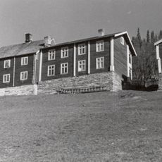
Sollien, Sollia
24.8 km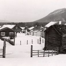
Atneosen
16.7 km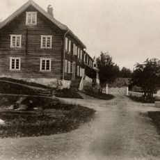
Øvergård
36.7 km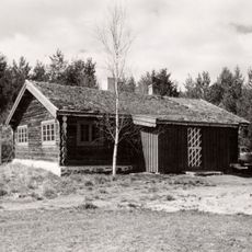
Lillestu
35.8 km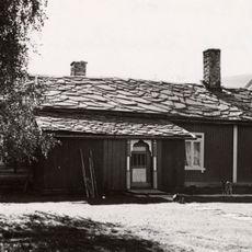
Hanestad vestre (nedre)
5.8 km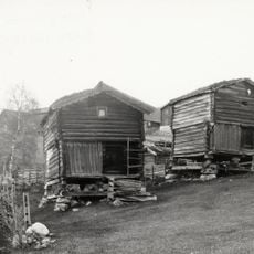
Løvhaugen
15.9 km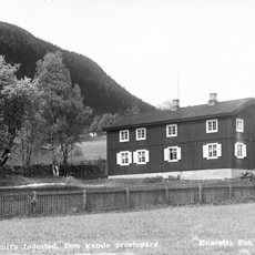
Rendalen prestegard
12.1 km
Lien nordre (skogstykket nørdsti-lien)
32.5 km
HANESTAD ØSTRE (tidl. på Hårset, Haarset)
5.7 km
Trønnes nordre, Nordstumoen
35.4 kmReviews
Visited this place? Tap the stars to rate it and share your experience / photos with the community! Try now! You can cancel it anytime.
Discover hidden gems everywhere you go!
From secret cafés to breathtaking viewpoints, skip the crowded tourist spots and find places that match your style. Our app makes it easy with voice search, smart filtering, route optimization, and insider tips from travelers worldwide. Download now for the complete mobile experience.

A unique approach to discovering new places❞
— Le Figaro
All the places worth exploring❞
— France Info
A tailor-made excursion in just a few clicks❞
— 20 Minutes