Storhøa, قمة جبل في النرويج
Location: Rendalen Municipality
GPS coordinates: 61.96395,10.54700
Latest update: November 2, 2025 17:09
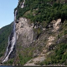
Seven Sisters waterfall
20.3 km
Jutulhogget
19.1 km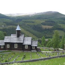
Sollia Church
21.8 km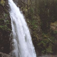
Tegningfallet
18.6 km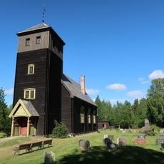
Hanestad Church
22.7 km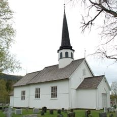
Tylldalen Church
23.2 km
Atnsjømyrene
25 km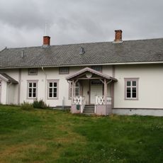
Alvdal prestegård
16.6 km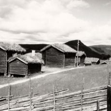
Husantunet
18 km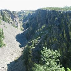
Jutulhogget
20.5 km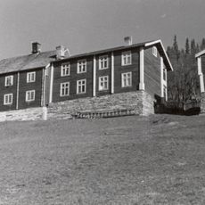
Sollien, Sollia
21.1 km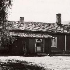
Hanestad vestre (nedre)
22.3 km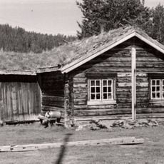
Lien nordre (skogstykket nørdsti-lien)
18.7 km
HANESTAD ØSTRE (tidl. på Hårset, Haarset)
22.3 km
Kjølhaugen
16.8 km
Sandegga
15.7 km
Work of art, sculpture
17.1 km
Flåklypatoppen
17.1 km
Solliaysteriet
23.2 km
Work of art, sculpture
17.1 km
Tegningfallet
18.9 km
Jutulhogget
18.2 km
Sohlbergplassen
21.1 km
Scenic viewpoint
13.4 km
Scenic viewpoint
24.7 km
Scenic viewpoint
24.7 km
Scenic viewpoint
24.8 km
Tegningfallet
18.6 kmReviews
Visited this place? Tap the stars to rate it and share your experience / photos with the community! Try now! You can cancel it anytime.
Discover hidden gems everywhere you go!
From secret cafés to breathtaking viewpoints, skip the crowded tourist spots and find places that match your style. Our app makes it easy with voice search, smart filtering, route optimization, and insider tips from travelers worldwide. Download now for the complete mobile experience.

A unique approach to discovering new places❞
— Le Figaro
All the places worth exploring❞
— France Info
A tailor-made excursion in just a few clicks❞
— 20 Minutes