Sandnuten, قمة جبل في النرويج
Location: Ullensvang Municipality
GPS coordinates: 60.00190,6.68830
Latest update: October 25, 2025 18:51
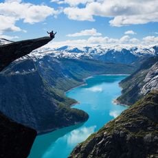
Trolltunga
13.9 km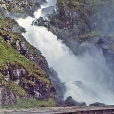
Låtefossen
8.4 km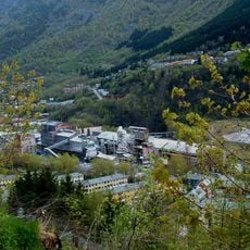
Odda Smelteverk
10.7 km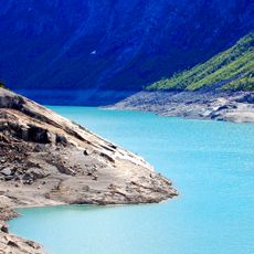
Ringedalsvatnet
14 km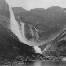
Ringedalsfossen
12.2 km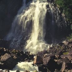
Espelandsfossen
8.6 km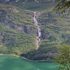
Tjørnadalsfossen
6.9 km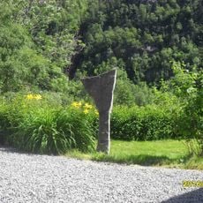
Sandvin - Fetts fk. 1/2
7.4 km
Tokheimskaret - Skålgropstein
14.1 km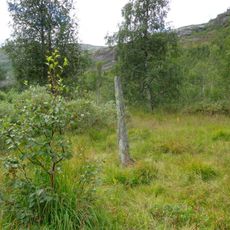
Reinsnos - Fetts fk. 1, Foss
2.4 km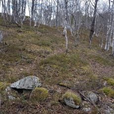
Berge - Fetts fk. 1, Åsthelleberget
7.5 km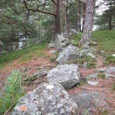
Sandvin - Fetts fk. 4, Sandvinshaugen
7 km
Vidfoss
7.2 km
Grønnsdalsfossen
7.7 km
Oddmundsteinen
7 km
Ringedalsvatnet
13.2 km
Installation artwork, Work of art
10.5 km
Scenic viewpoint
12.6 km
Preikestolen
13.9 km
Skipheller
9.8 km
Scenic viewpoint
10.5 km
Scenic viewpoint
8.4 km
Storefurua
5 km
Scenic viewpoint
7.4 km
Mot Jordalen
8.4 km
Scenic viewpoint
13.6 km
Scenic viewpoint
8.4 km
Scenic viewpoint
9 kmReviews
Visited this place? Tap the stars to rate it and share your experience / photos with the community! Try now! You can cancel it anytime.
Discover hidden gems everywhere you go!
From secret cafés to breathtaking viewpoints, skip the crowded tourist spots and find places that match your style. Our app makes it easy with voice search, smart filtering, route optimization, and insider tips from travelers worldwide. Download now for the complete mobile experience.

A unique approach to discovering new places❞
— Le Figaro
All the places worth exploring❞
— France Info
A tailor-made excursion in just a few clicks❞
— 20 Minutes